
TPWD weekly fishing reports are temporarily paused. All other data is updating daily.
Fish Species at Whitney Lake

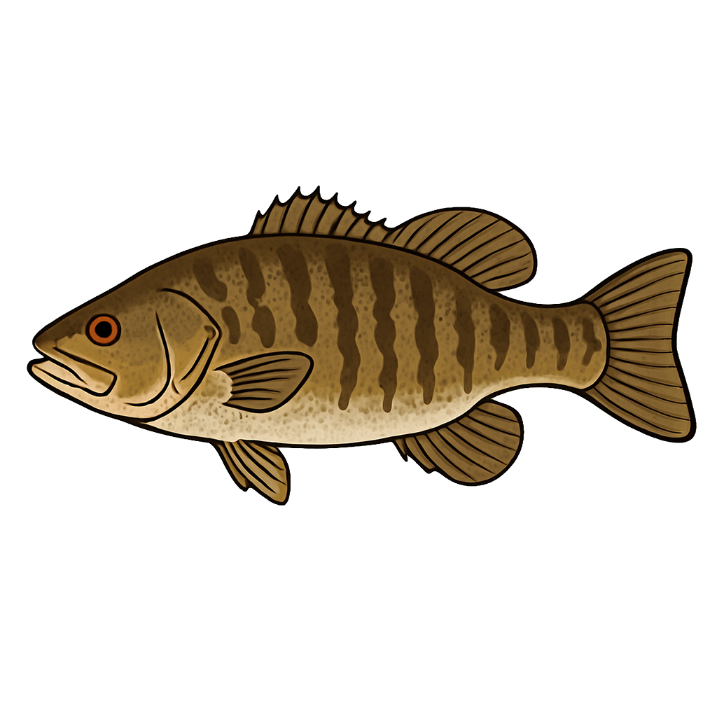
Largemouth Bass
Good
Smallmouth Bass
Poor
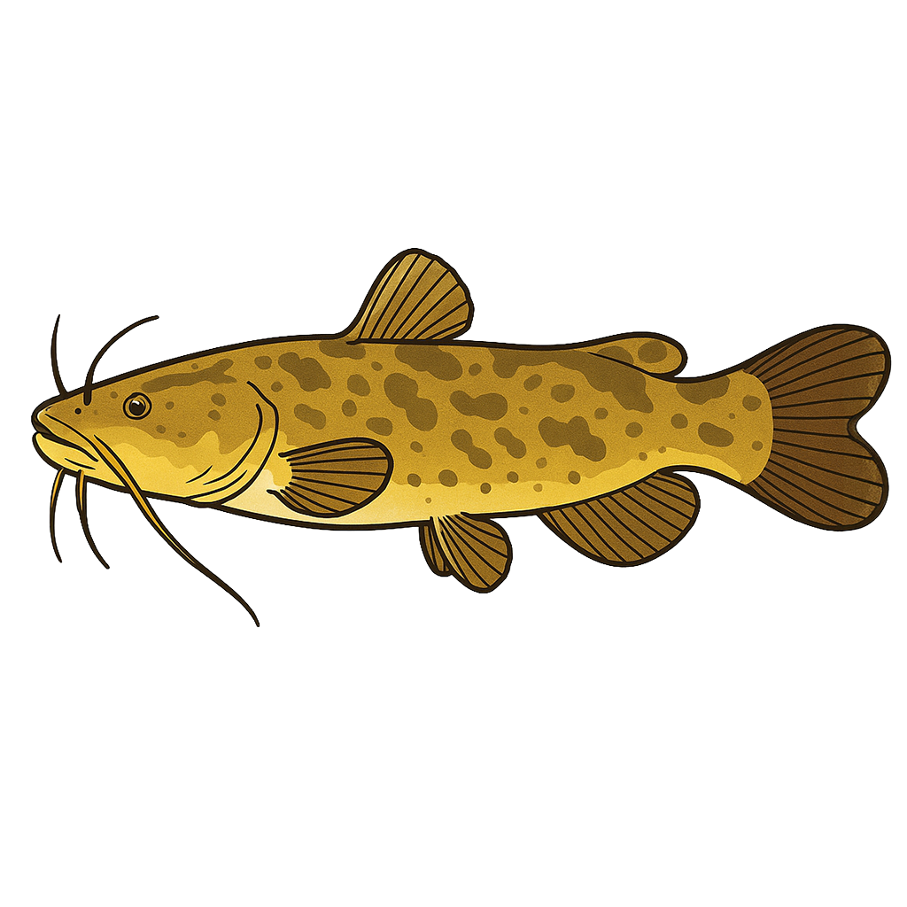
Channel Catfish
Good
Flathead Catfish
Fair

White Crappie
Fair
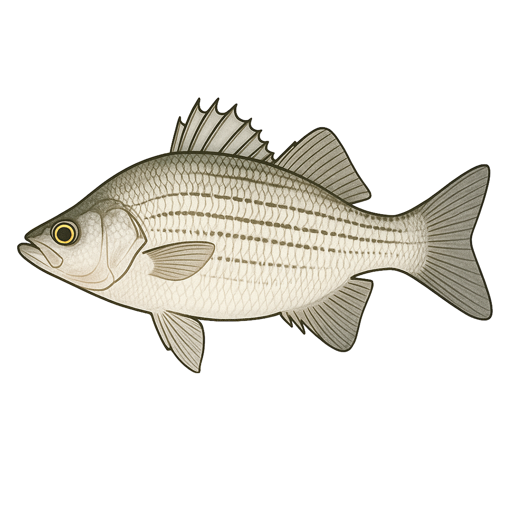
White Bass
Good
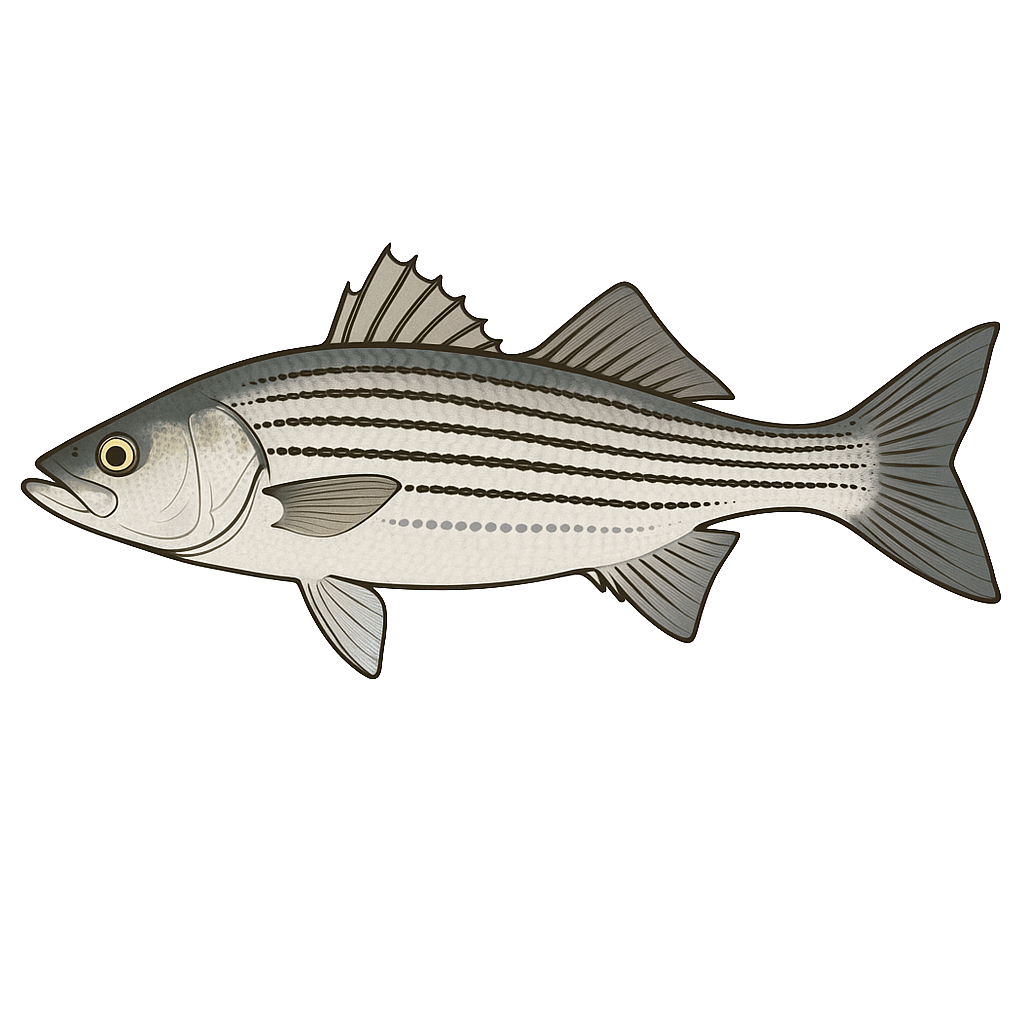
Striped Bass
Good

Sunfish
Good
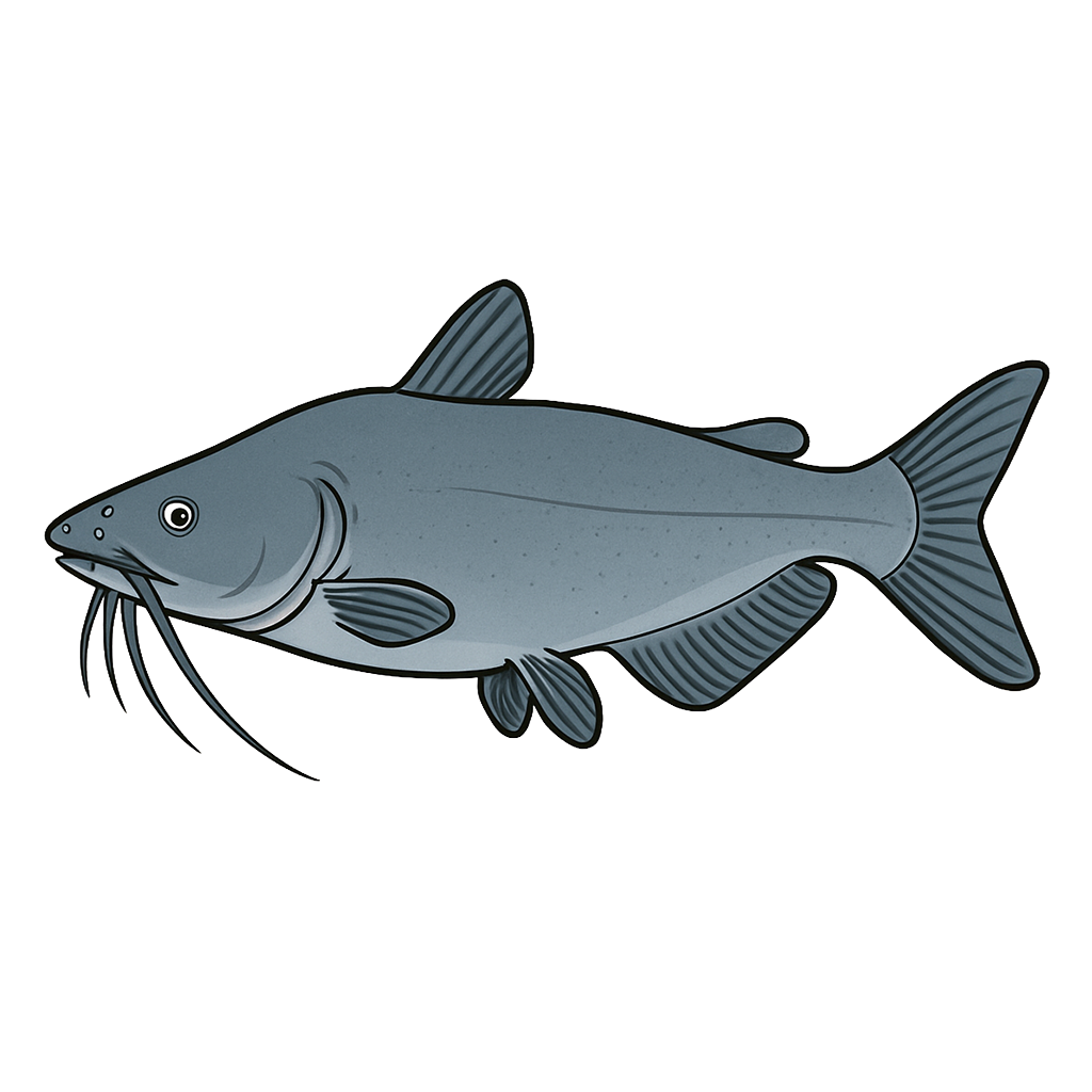
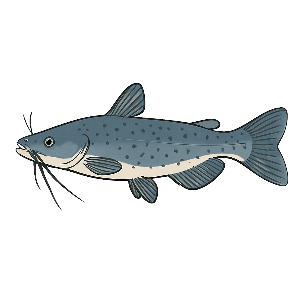
Blue Catfish
Species data sourced from Texas Parks & Wildlife Department
Whitney Lake Fishing Guide
Angling Opportunities
Lake Whitney is one of the prettiest lakes in Texas. This, combined with excellent public access and good fishing for many species, makes it a popular destination. It offers top-notch fishing for striped bass and white bass, along with unique and diverse opportunities for smallmouth bass and trophy blue catfish. Texas anglers who have not fished Whitney are missing out on a great experience.
Cover & Structure
This Brazos River lake is dominated by natural rock shorelines, including steep bluffs, boulders, and sand and gravel flats. Submerged timber and flooded terrestrial vegetation add to the diversity of natural habitat for fish while man-made habitats include boat ramps, marinas, piers, docks, and bridge pilings. The Waco Inland Fisheries District worked with Bosque and Hill County 4H members and other volunteers on two separate occasions to assemble and deploy both commercial and PVC fish habitat structures to help attract and hold sportfish for bank and boat anglers.
Tips & Tactics
Lake Whitney currently provides some of the best striped bass fishing in the state, with March through May being the best months. Bank fishermen are most successful fishing below sand or gravel bars on the Nolan and Brazos Rivers above the reservoir. In the main lake, fishermen fish on windswept sandy beaches using shad or inland silverside ("ghost minnows") for bait. Boat fishermen find stripers in the open reservoir feeding on large schools of shad or near submerged brush or timber. Topwater lures, jigs, and live bait are all effective at this time of year.
Fishing Regulations
All species at Whitney Lake are managed under standard Texas statewide regulations.
Some links are affiliate links. We may earn a small commission at no cost to you.
Water Level History
| Date | Elevation | 24hr Change | % Full | Inflow | Outflow |
|---|---|---|---|---|---|
| Jul 15 | 533.05 ft | 0.00 | 100.0% | 189 | 51 |
| Jul 14 | 533.04 ft | 0.00 | 100.0% | 1,238 | 51 |
| Jul 13 | 533.04 ft | +0.14 | 100.0% | 829 | 51 |
Data source: US Army Corps of Engineers
More Lakes in Prairies & Lakes
Map & Directions
Lake Information
Region: Prairies & Lakes
USGS Site: 08092500
Data Sources
Fishing Reports
Texas Parks & Wildlife Department
Lake Details
TPWD Inland Fisheries
Water Levels
USGS Water Services
Weather
Open-Meteo
Maps
Mapbox