
TPWD weekly fishing reports are temporarily paused. All other data is updating daily.
Fish Species at Lake Ray Roberts

Largemouth Bass
Excellent

White Crappie
Excellent
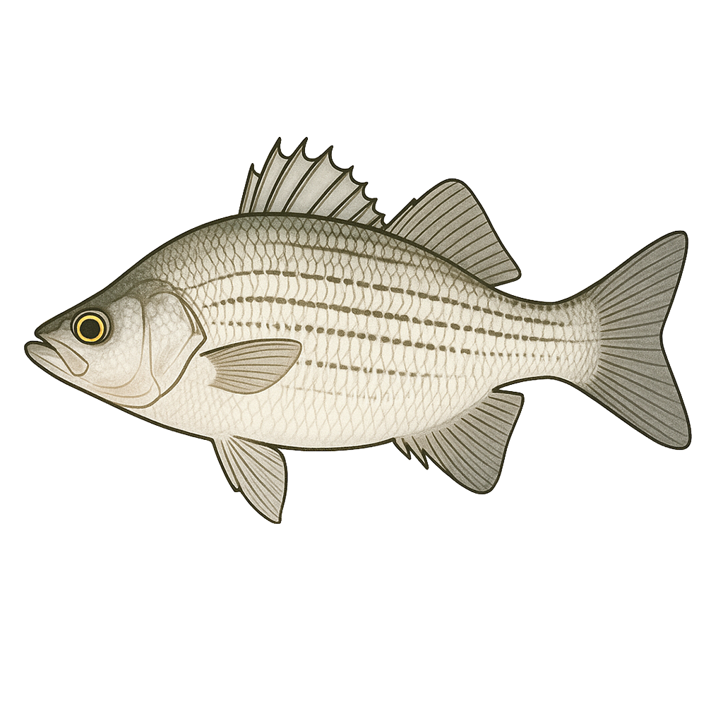
White Bass
Excellent

Sunfish
Good

Blue Catfish
Bluegill
Species data sourced from Texas Parks & Wildlife Department
Lake Ray Roberts Fishing Guide
Angling Opportunities
Black bass, catfish, crappie, and sand (white) bass are popular on this lake. There are many good areas to fish for bass. White bass fishing peaks in the spring during the spawning run up tributaries, and again in the summer when bass school in the main pool off the dam and main lake points. Crappie and Catfish provide good fishing year-round.
Cover & Structure
Ray Roberts Lake has approximately 2,000 acres of standing timber, located mostly in the upper reaches of both major arms. Rip-rap can be found along the dam and near bridge crossings. Aquatic vegetation can be found along some shorelines.
Tips & Tactics
Largemouth bass fishing seems to peak in the spring and fall, but most trophy bass are caught in February and March. The bait of choice in cold months is a jig or jig and pig combination fished slowly around deep submerged points. In spring you might want to try a Carolina rigged worm or lizard in shallow water found on the main flats between feeder creeks in the Isle du Bois Creek arm. In early summer, try vertical jigging in the acres of standing timber. In June, big bass can be found at the base of flooded trees in 25 feet of water.
Fishing Regulations
All species at Lake Ray Roberts are managed under standard Texas statewide regulations.
Some links are affiliate links. We may earn a small commission at no cost to you.
Water Level History
| Date | Elevation | 24hr Change | % Full | Inflow | Outflow |
|---|---|---|---|---|---|
| Jul 15 | 632.72 ft | -0.01 | 100.0% | 106 | 50 |
| Jul 14 | 632.74 ft | -0.02 | 100.0% | 397 | 50 |
| Jul 13 | 632.74 ft | +0.01 | 100.0% | 322 | 50 |
Data source: US Army Corps of Engineers
More Lakes in Prairies & Lakes
Map & Directions
Lake Information
Region: Prairies & Lakes
USGS Site: 332138097024101
Data Sources
Fishing Reports
Texas Parks & Wildlife Department
Lake Details
TPWD Inland Fisheries
Water Levels
USGS Water Services
Weather
Open-Meteo
Maps
Mapbox