
TPWD weekly fishing reports are temporarily paused. All other data is updating daily.
Fish Species at Bardwell Lake

Largemouth Bass
Fair
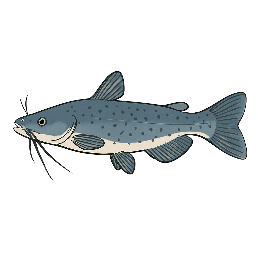
Channel Catfish
Good

White Crappie
Good
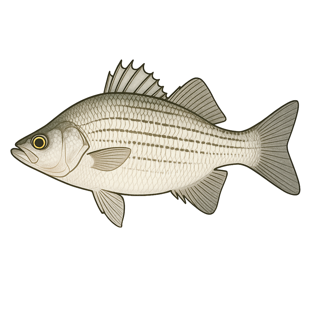
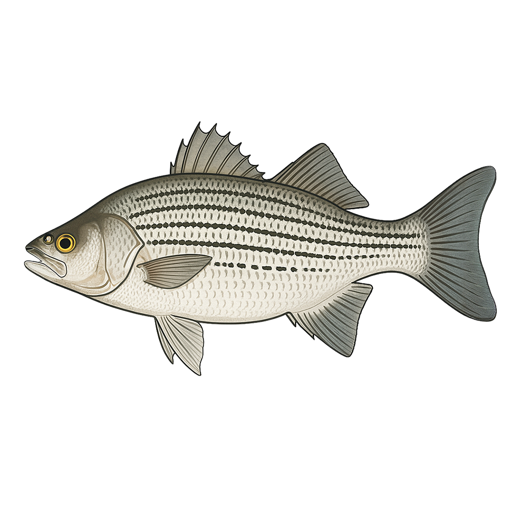
White Bass
Excellent
Hybrid Striped Bass
Good

Sunfish
Poor
Species data sourced from Texas Parks & Wildlife Department
Bardwell Lake Fishing Guide
Angling Opportunities
With the increase in vegetation (hydrilla) in the upper end, fishing for largemouth bass has improved. Catfishes and open water species such as white bass and hybrid stripers are very good. Hybrids are stocked on an annual basis and have provided an excellent fishery; however, no one has registered a lake record yet. Downriggers can provide hybrid striper action during warm months, watch for schooling birds during cooler weather.
Cover & Structure
Hydrilla north of the Highway 34 bridge offers good access to largemouth bass. Best structure is along the face of the dam. The upper end of the lake is highly silted and shallow and is only accessible during high water.
Tips & Tactics
Largemouth bass fishing at Bardwell Lake peaks during spring pre-spawn when fish move to shallow flats and points — work Texas-rigged soft plastics, lipless crankbaits, and spinnerbaits for best results. Catfish are productive year-round; cut shad, chicken liver, or prepared stink bait fished on the bottom near structure produces steady action from spring through fall. Target crappie around any available timber or brush piles with small jigs or live minnows — late winter and early spring are prime when fish move shallow to spawn. White bass form aggressive surface-feeding schools in fall chasing shad into shallow coves — silver spoons, small white grubs, and inline spinners all produce when fish are busting the surface.
Fishing Regulations
All species at Bardwell Lake are managed under standard Texas statewide regulations.
Some links are affiliate links. We may earn a small commission at no cost to you.
Water Level History
| Date | Elevation | 24hr Change | % Full | Inflow | Outflow |
|---|---|---|---|---|---|
| Jul 15 | 421.06 ft | 0.00 | 100.0% | 36 | 0 |
| Jul 14 | 421.06 ft | +0.03 | 100.0% | 142 | 0 |
| Jul 13 | 421.04 ft | +0.08 | 100.0% | 158 | 0 |
Data source: US Army Corps of Engineers
More Lakes in Prairies & Lakes
Map & Directions
Lake Information
Region: Prairies & Lakes
USGS Site: 08063700
Data Sources
Fishing Reports
Texas Parks & Wildlife Department
Lake Details
TPWD Inland Fisheries
Water Levels
USGS Water Services
Weather
Open-Meteo
Maps
Mapbox