
TPWD weekly fishing reports are temporarily paused. All other data is updating daily.
Fish Species at Belton Lake

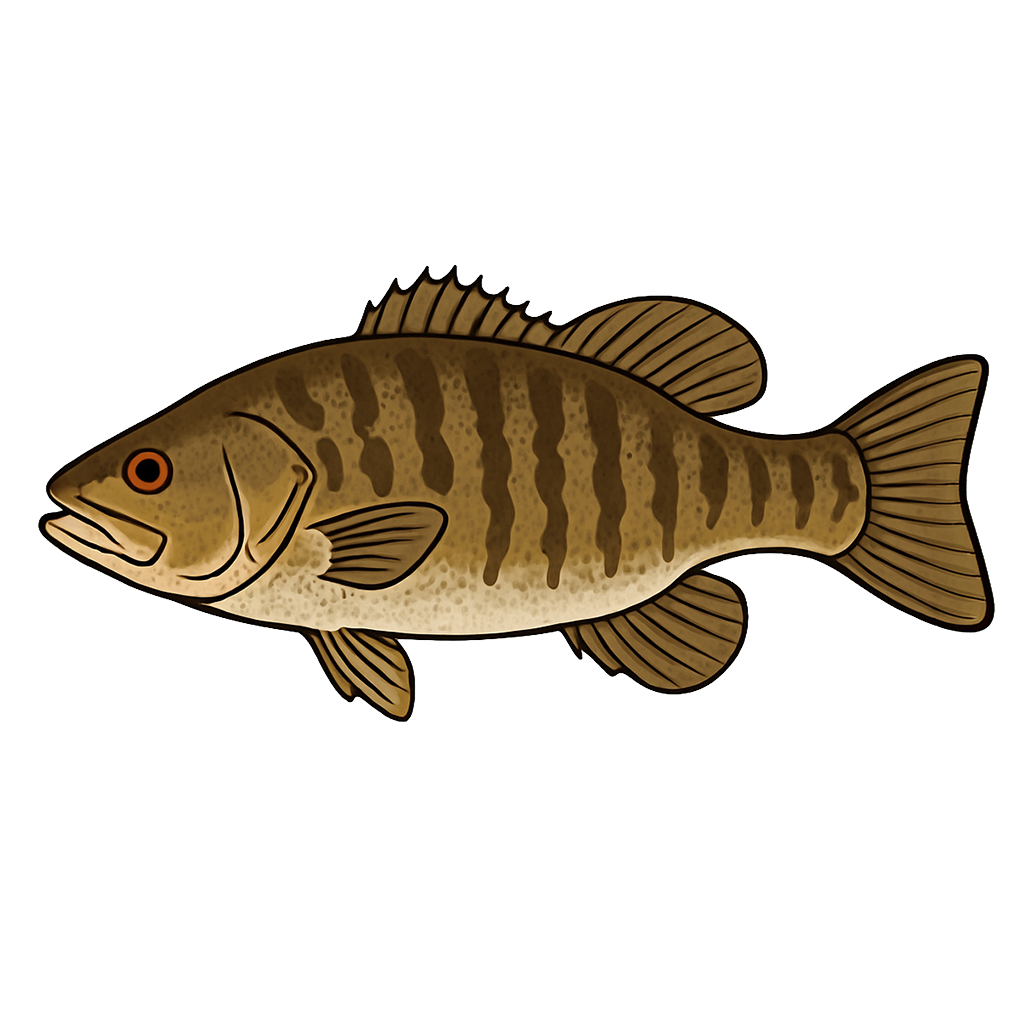
Largemouth Bass
Good
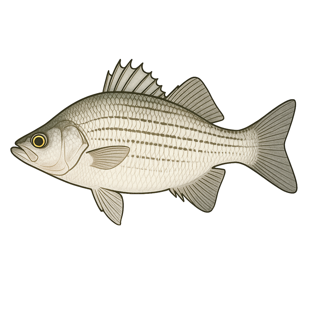
Smallmouth Bass
Excellent
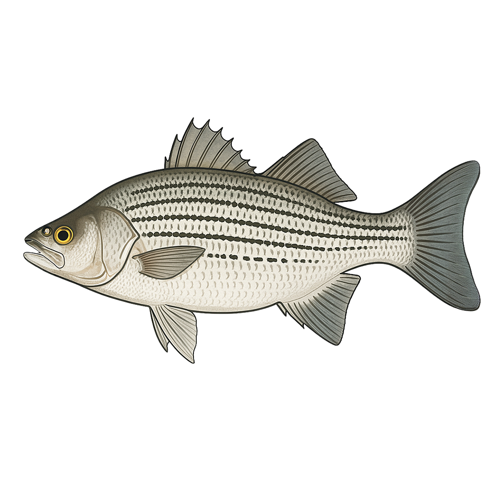
White Bass
Good
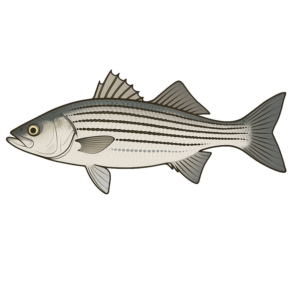
Hybrid Striped Bass
Excellent

Sunfish
Good

Blue Catfish

White Crappie
Striped Bass
Species data sourced from Texas Parks & Wildlife Department
Belton Lake Fishing Guide
Angling Opportunities
Belton Lake is a popular lake for hybrid striped bass, and can also be a good largemouth bass lake at certain times of the year.
Cover & Structure
Most of the shoreline is very steep, rocky habitat. Majestic tall bluffs and long rocky points are most common, although sand and mud flats can be found up the Leon River and Cowhouse arms. The lake has little or no aquatic vegetation.
Tips & Tactics
Largemouth bass fishing is at its best from late February through April. As the water temperature begins to rise, bass become more active and prepare for the upcoming spawn. The backs of creeks and coves, protected from the north wind, provide the warmest water on the lake. Good creeks to target are Cedar, Bear, Owl, Stampede, and Cowhouse. Spinnerbaits, plastic lizards, jerkbaits, and jig and pork combinations are the preferred baits.
Fishing Regulations
All species at Belton Lake are managed under standard Texas statewide regulations.
Some links are affiliate links. We may earn a small commission at no cost to you.
Water Level History
| Date | Elevation | 24hr Change | % Full | Inflow | Outflow |
|---|---|---|---|---|---|
| Jul 15 | 594.70 ft | +0.44 | 100.0% | 2,786 | 52 |
| Jul 14 | 594.30 ft | +0.06 | 100.0% | 588 | 52 |
| Jul 13 | 594.21 ft | -0.03 | 100.0% | 98 | 52 |
Data source: US Army Corps of Engineers
More Lakes in Prairies & Lakes
Map & Directions
Lake Information
Region: Prairies & Lakes
USGS Site: 08104050
Data Sources
Fishing Reports
Texas Parks & Wildlife Department
Lake Details
TPWD Inland Fisheries
Water Levels
USGS Water Services
Weather
Open-Meteo
Maps
Mapbox