
TPWD weekly fishing reports are temporarily paused. All other data is updating daily.
Fish Species at Somerville Lake

Largemouth Bass
Excellent

White Crappie
Good
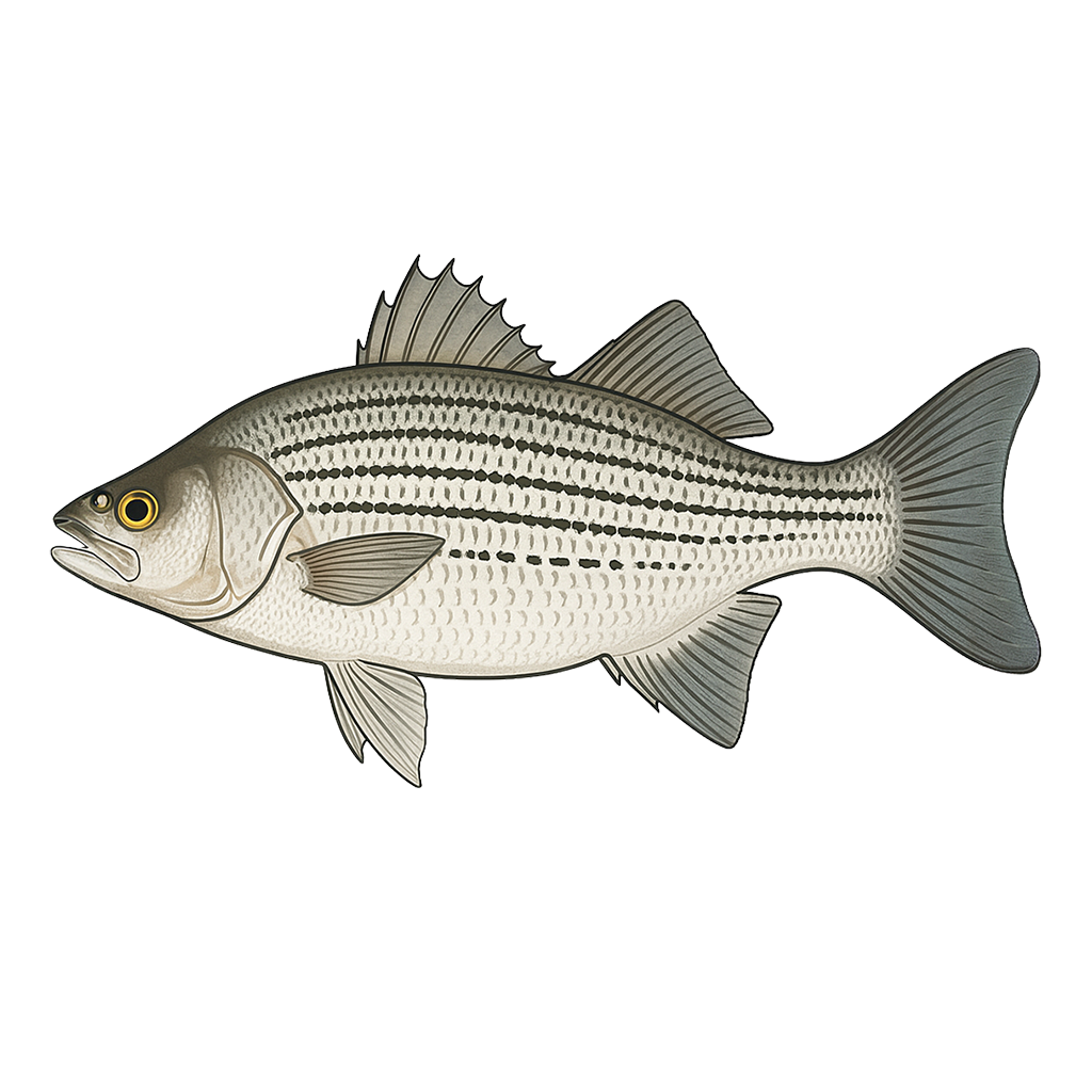
Hybrid Striped Bass
Excellent

Sunfish
Good
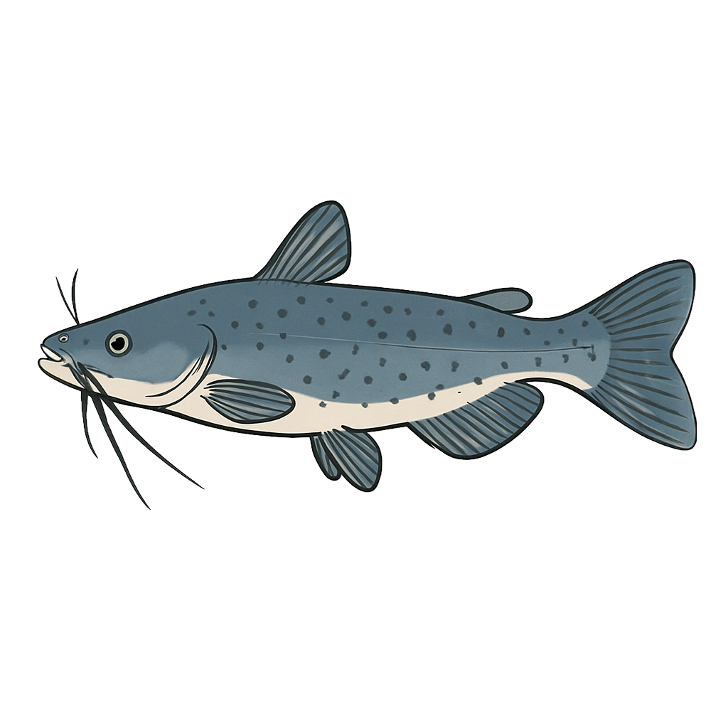
Channel Catfish
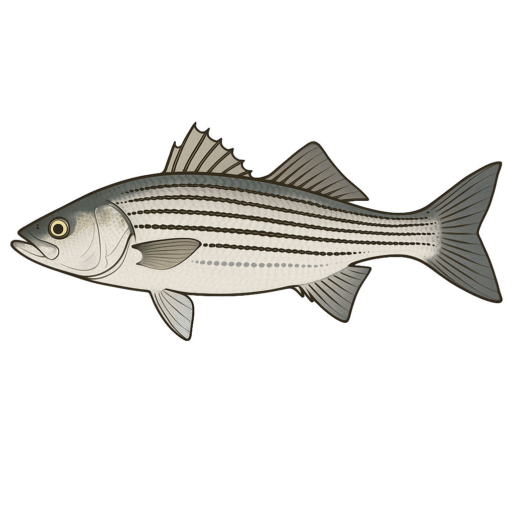
Striped Bass
Species data sourced from Texas Parks & Wildlife Department
Somerville Lake Fishing Guide
Angling Opportunities
White bass anglers know this lake well as a high quality fishery, especially during the spring spawning run. However the lake offers very good fishing for hybrid striped bass, channel catfish and crappie as well. Largemouth bass fishing is very good with catches of fish up to 10 pounds plus. In March 2009, angler Richard Vela caught a lake record largemouth bass weighing 13.6 pounds and donated the fish to the ShareLunker Program, the first donation to the program from Lake Somerville.
Cover & Structure
TPWD has installed commercial fish habitat structure in this reservoir. Anglers may use GPS in conjunction with a fish finder to locate the attractors. American lotus, hydrilla.
Tips & Tactics
Both white bass and hybrid striped bass can be taken in the creeks in early spring, usually beginning in mid February. During summer and fall these two species can be found in open water following schooling shad. The area off Welch Park is particularly good just before the spring spawning run.
Fishing Regulations
All species at Somerville Lake are managed under standard Texas statewide regulations.
Some links are affiliate links. We may earn a small commission at no cost to you.
Water Level History
| Date | Elevation | 24hr Change | % Full | Inflow | Outflow |
|---|---|---|---|---|---|
| Jul 15 | 239.93 ft | +0.90 | 100.0% | 6,332 | 194 |
| Jul 14 | 238.92 ft | +0.29 | 100.0% | 204 | 96 |
| Jul 13 | 238.95 ft | 0.00 | 100.0% | 171 | 95 |
Data source: US Army Corps of Engineers
More Lakes in Prairies & Lakes
Map & Directions
Lake Information
Region: Prairies & Lakes
USGS Site: 08109900
Data Sources
Fishing Reports
Texas Parks & Wildlife Department
Lake Details
TPWD Inland Fisheries
Water Levels
USGS Water Services
Weather
Open-Meteo
Maps
Mapbox