
TPWD weekly fishing reports are temporarily paused. All other data is updating daily.
Fish Species at Richland Chambers Lake

Largemouth Bass
Fair
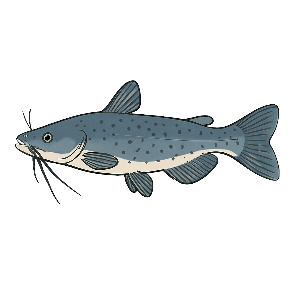
Channel Catfish
Excellent

White Crappie
Excellent
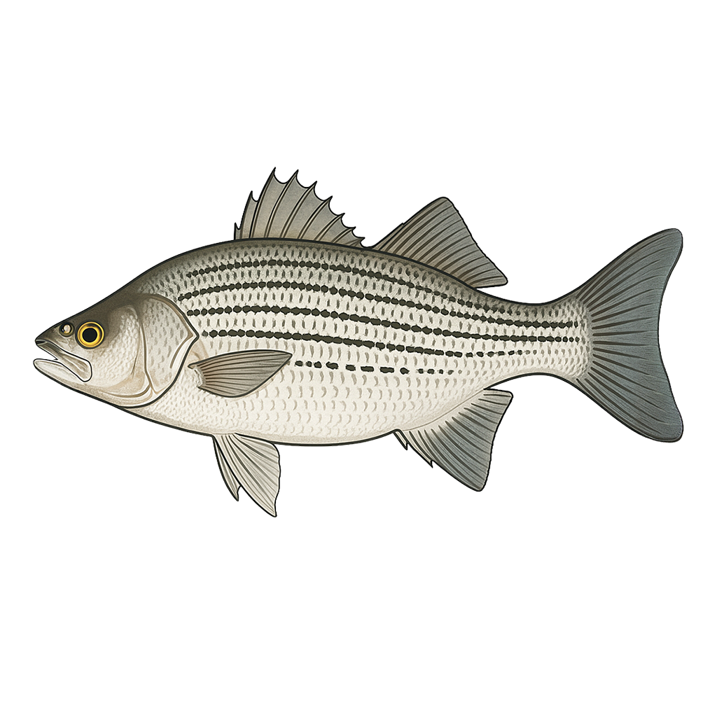
Hybrid Striped Bass
Excellent

Sunfish
Poor
Species data sourced from Texas Parks & Wildlife Department
Richland Chambers Lake Fishing Guide
Angling Opportunities
Richland Chambers is an excellent choice for anglers seeking catfishes, crappie, white bass or hybrid stripers. Angling for largemouth bass can be very good where anglers can find vegetation and clear water; however, these areas are somewhat limited in size compared to the lake surface. Many anglers set jug lines for catfishes and go after schooling white bass and hybrids while waiting for jug line action. Richland Chambers produces abundant crappie (both black and white) and may be area's the most consistent fishery for these fishes.
Cover & Structure
Native pondweeds are abundant in Big Cedar Creek and along the south bank of the Chambers Creek arm. Hydrilla is scattered along the south bank of the Richland Creek arm from Midway Marina west to the railroad trestle and from 7L ramp south to Pin Oak Creek. The old Trinity River levee forms a crescent-shaped underwater structure between the confluence of the Richland and Chambers creek arms and the dam.
Tips & Tactics
Largemouth bass fishermen should look for fish congregated around underwater structure where they can be caught with jigging spoons and deep-diving crankbaits. Crappie fishermen will have success with jigs or minnows near bridge crossings and in the abundant timber in the upper Richland and Chambers creek arms. Catfishes are everywhere; cut bait, stink bait, chicken livers, and worms are all productive. White bass and hybrid stripers are active from the 287 bridge to the dam. Use a graph recorder to find schools of shad or follow the birds to find schooling activity.
Fishing Regulations
Richland Chambers Lake has special regulations on some fishes. Check current TPWD regulations before your trip.
Some links are affiliate links. We may earn a small commission at no cost to you.
Water Level History
| Date | Elevation | 24hr Change | % Full | Inflow | Outflow |
|---|---|---|---|---|---|
| Jul 15 | 314.20 ft | +0.02 | 96.8% | 1,415 | 5 |
| Jul 14 | 314.15 ft | +0.22 | 96.6% | 8,588 | 5 |
| Jul 13 | 313.78 ft | +0.17 | 95.2% | 396 | 5 |
Data source: US Army Corps of Engineers
More Lakes in Prairies & Lakes
Map & Directions
Lake Information
Region: Prairies & Lakes
USGS Site: 08064550
Data Sources
Fishing Reports
Texas Parks & Wildlife Department
Lake Details
TPWD Inland Fisheries
Water Levels
USGS Water Services
Weather
Open-Meteo
Maps
Mapbox