
TPWD weekly fishing reports are temporarily paused. All other data is updating daily.
Fish Species at Pat Mayse Lake

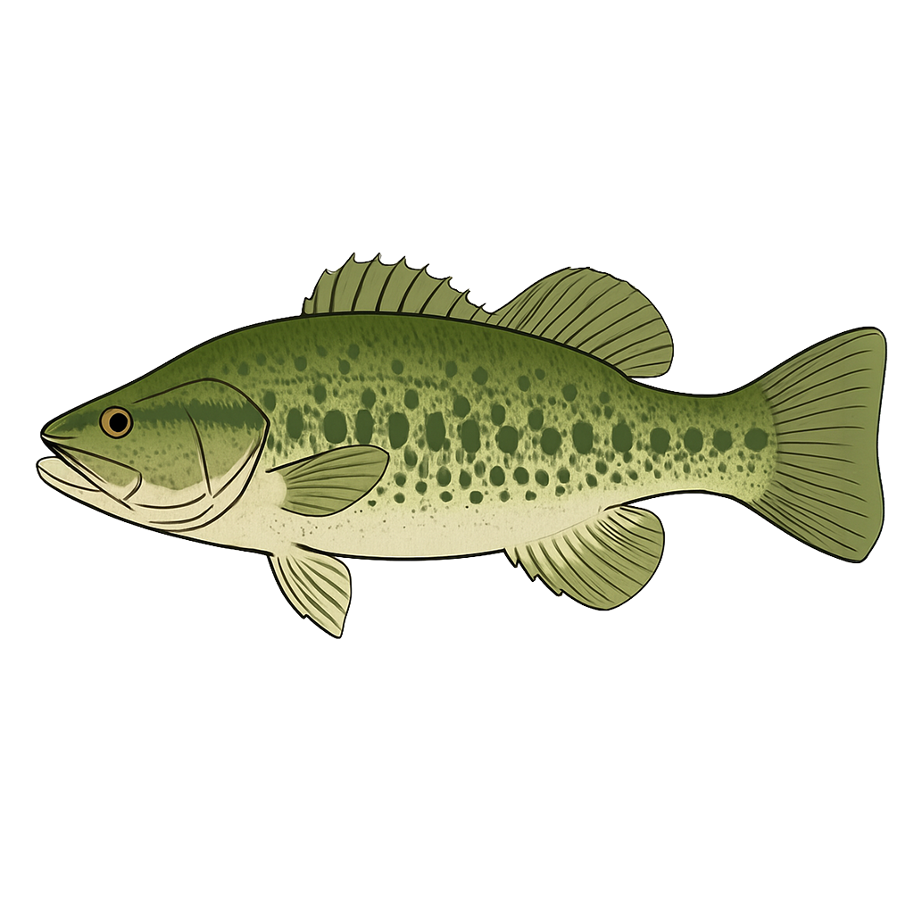
Largemouth Bass
Fair
Spotted Bass
Fair

White Crappie
Good
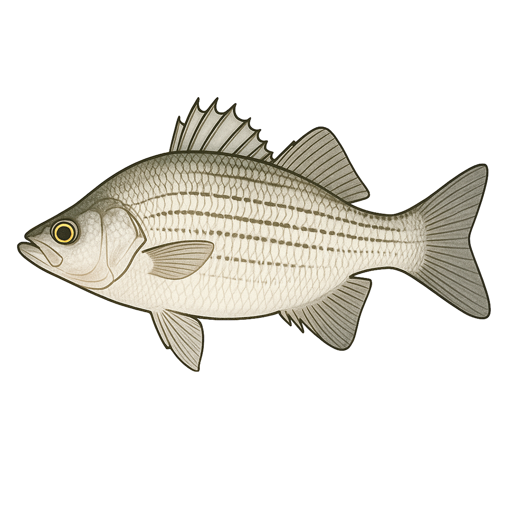
White Bass
Good
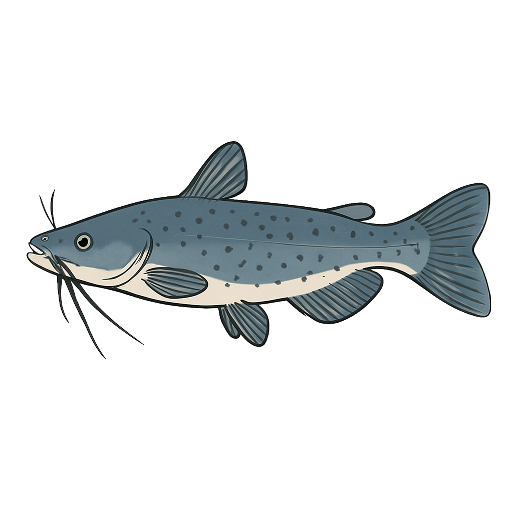
Channel Catfish
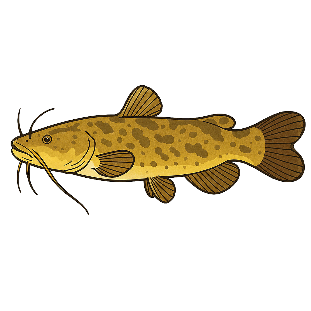
Flathead Catfish
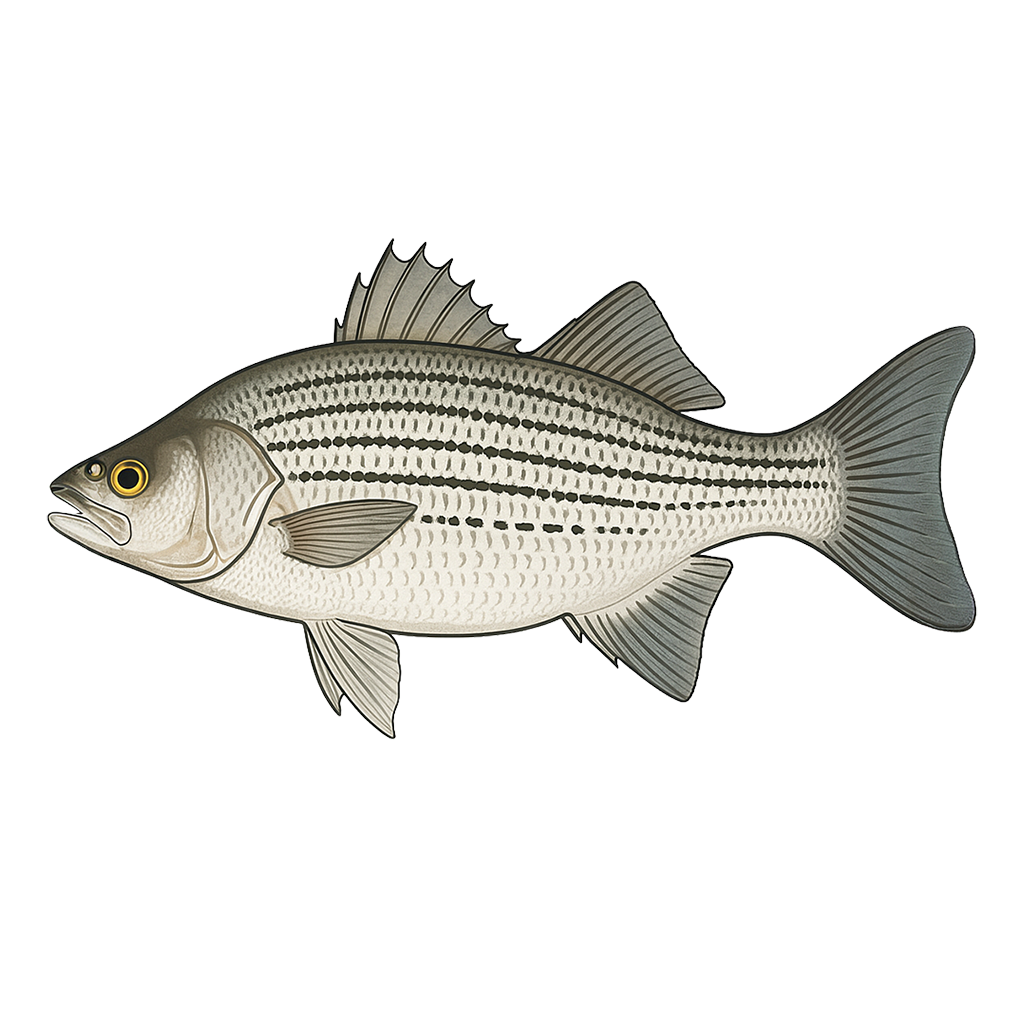
Hybrid Striped Bass
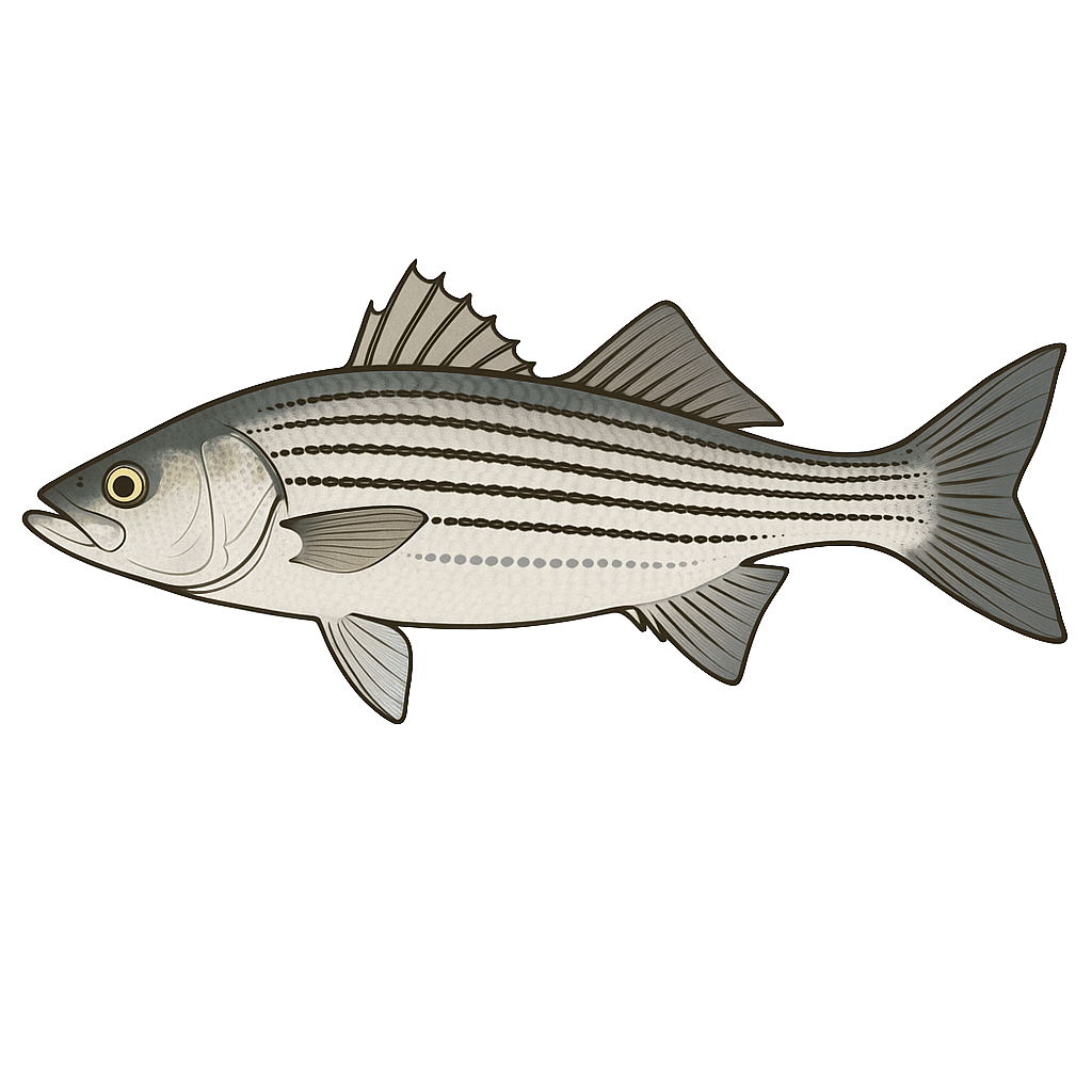
Striped Bass
Species data sourced from Texas Parks & Wildlife Department
Pat Mayse Lake Fishing Guide
Angling Opportunities
Largemouth bass are popular in Pat Mayse Lake. Spotted bass provide additional action, but they don't get very big. White bass provide an additional fishery, especially in the open water areas. Crappie fishing is generally good, especially in the lake's abundant standing timber.
Cover & Structure
The upper third of Pat Mayse Lake, upstream from Lamar Point, is heavily timbered with numerous coves and cuts which provide excellent habitat for largemouth bass, crappie and catfish. Many of these coves also have margins of submerged and emergent vegetation. Rip rap on the dam provides opportunities for all species throughout the year.
Tips & Tactics
Peak fishing for largemouth bass occurs during spring, mid-February through April, when fishermen concentrate on fishing the shoreline in search of spawning fish. Popular baits include plastic worms and lizards, spinnerbaits, jigs and jerk baits. Schools of largemouth bass are targeted from late summer into fall using crankbaits, spinnerbaits, jigs, and topwaters. Spotted bass (Kentucky spots), a small relative of the largemouth bass, are often caught by fishermen fishing for largemouth bass in the lower lake especially during winter months. During the spawning season, crappie are caught in shallow water around submerged trees and brush.
Fishing Regulations
All species at Pat Mayse Lake are managed under standard Texas statewide regulations.
Some links are affiliate links. We may earn a small commission at no cost to you.
More Lakes in Prairies & Lakes
Map & Directions
Lake Information
Region: Prairies & Lakes
Data Sources
Fishing Reports
Texas Parks & Wildlife Department
Lake Details
TPWD Inland Fisheries
Water Levels
USGS Water Services
Weather
Open-Meteo
Maps
Mapbox