
TPWD weekly fishing reports are temporarily paused. All other data is updating daily.
Fish Species at Palestine Lake

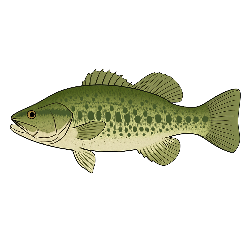
Largemouth Bass
Good
Spotted Bass
Good

White Crappie
Good
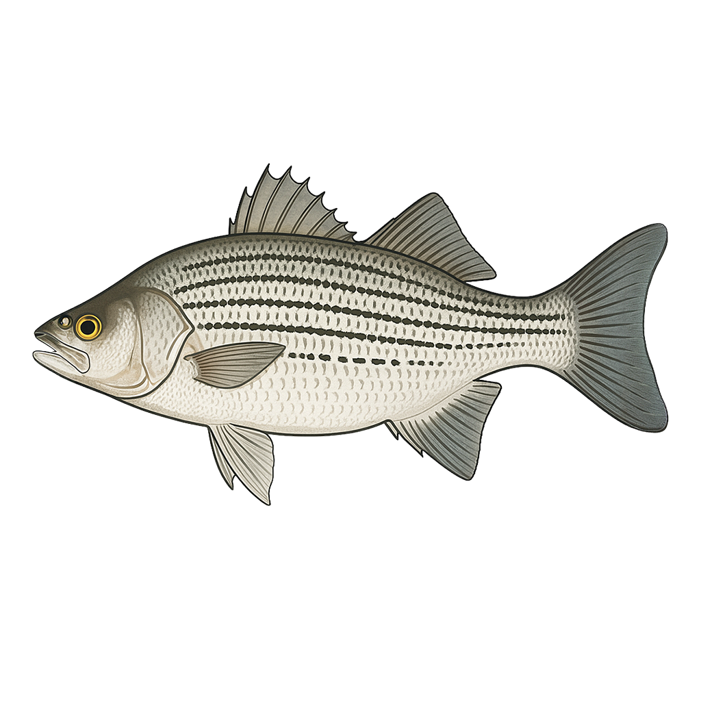
Hybrid Striped Bass
Excellent

Blue Catfish
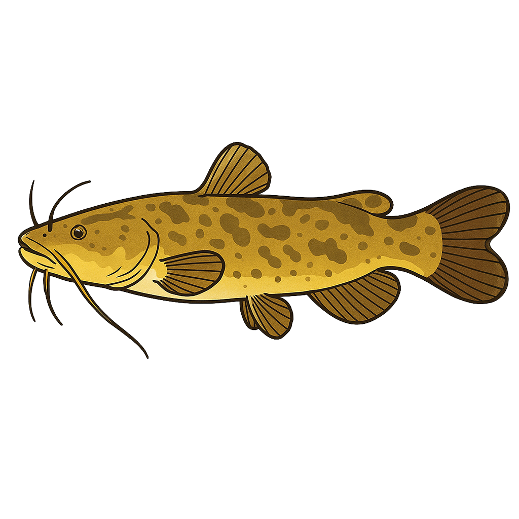
Flathead Catfish
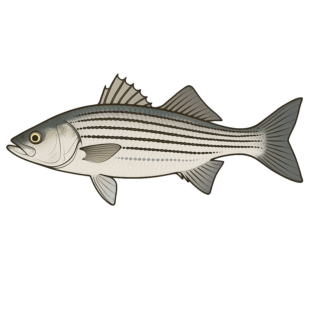
Striped Bass
Species data sourced from Texas Parks & Wildlife Department
Palestine Lake Fishing Guide
Angling Opportunities
Lake Palestine offers something for everyone in terms of a fishery. The lake is very popular for largemouth bass tournaments due to its consistent success. Both white bass and hybrid striped bass are present; white bass are particularly popular during their spring run up the Neches River and Kickapoo Creeks. Channel and blue catfishes are abundant and flathead catfish provide great opportunity for trophy-sized fish.
Cover & Structure
Most vegetation and flooded timber are located above the Texas Highway 155 bridge in the main lake, Highsaw and Ledbetter arms, in Kickapoo and Neches River arms and in Flat Creek. Anglers have placed brush piles in many locations between the dam and the bridge; these can be found using graph recorders. The bridge itself provides excellent structure on the main crossing between Dogwood and Coffee Cities and over Highsaw/Ledbetter creeks.
Tips & Tactics
Hybrid stripers and white bass are particularly active from the dam to Highway 155 during winter months and into spring. Largemouth bass fishermen report greatest success in the upper end of the lake (above the pipeline), in Cobb and Stone Chimney creeks, and Saline Bay. Catfish fishermen frequently drift fish with worms or chicken livers between Hawn point (at the mouth of Flat Creek) to the Highway 155 bridges, and will catch more legal sized fish if they target blue catfish using live fish or cut fish as bait. Crappie fishermen do well near 155 during the spring with small jigs or minnows.
Fishing Regulations
Palestine Lake has special regulations on some fishes. Check current TPWD regulations before your trip.
Some links are affiliate links. We may earn a small commission at no cost to you.
Water Level History
| Date | Elevation | 24hr Change | % Full | Inflow | Outflow |
|---|---|---|---|---|---|
| Jul 14 | 344.67 ft | -- | 97.9% | -- | -- |
| Jul 13 | 344.65 ft | -- | 97.8% | -- | -- |
| Jul 12 | 344.61 ft | -- | 97.6% | -- | -- |
Data source: US Army Corps of Engineers
More Lakes in Prairies & Lakes
Map & Directions
Lake Information
Region: Prairies & Lakes
USGS Site: 08031400
Data Sources
Fishing Reports
Texas Parks & Wildlife Department
Lake Details
TPWD Inland Fisheries
Water Levels
USGS Water Services
Weather
Open-Meteo
Maps
Mapbox