
TPWD weekly fishing reports are temporarily paused. All other data is updating daily.
Fish Species at Lavon Lake

Largemouth Bass
Good
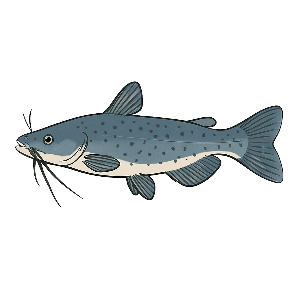
Channel Catfish
Good

White Crappie
Excellent
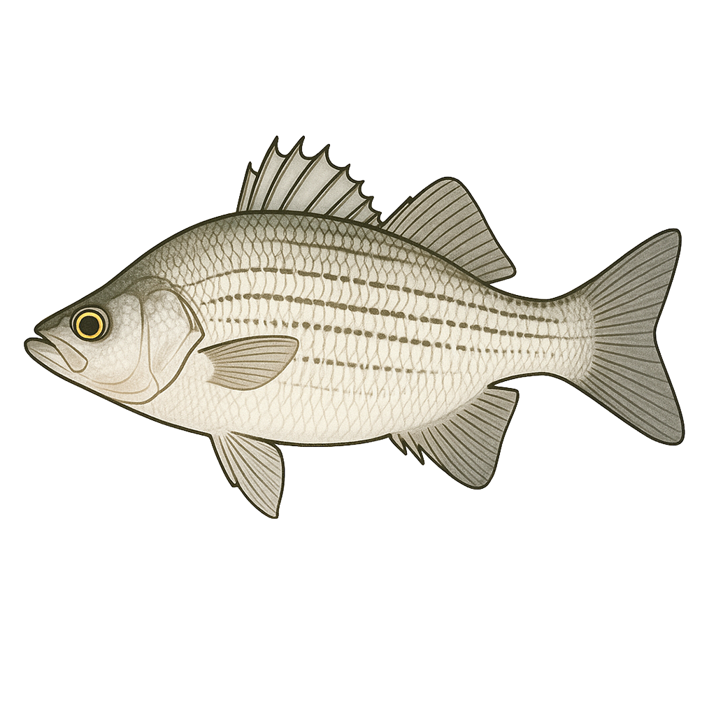
White Bass
Good

Sunfish
Excellent
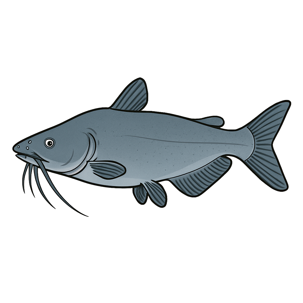
Blue Catfish
Species data sourced from Texas Parks & Wildlife Department
Lavon Lake Fishing Guide
Angling Opportunities
This lake is noted for crappie fishing, especially in winter and spring. Largemouth bass, channel catfish, and blue catfish offer good fishing opportunities. Sunfish are plentiful, with good populations of several species.
Cover & Structure
Most structure in this lake is in the form of standing timber, especially uplake in the East Fork Trinity River arm and the Sister Grove/Pilot Grove Creek arm. When present, aquatic vegetation is generally in the backs of the many small bays and coves along both sides of the two main arms running north and south. Infrequent stands of cattail surrounded by water can provide excellent habitat for most species.
Tips & Tactics
During the winter, crappie school in deep water and are usually found around deep structure, especially on south-facing shorelines. Some fishermen place brush piles in deep water near boat houses for winter fishing. In the spring, these fish migrate into shallow water to spawn and become very vulnerable to fishing. Baits of choice would be jigs and minnows. In winter, a very small (1/32 oz) black and white jig can be effective.
Fishing Regulations
Lavon Lake has a special regulation on catfish. See bag and size limits. Check current TPWD regulations before your trip.
Some links are affiliate links. We may earn a small commission at no cost to you.
Water Level History
| Date | Elevation | 24hr Change | % Full | Inflow | Outflow |
|---|---|---|---|---|---|
| Jul 15 | 492.17 ft | -0.04 | 100.0% | 355 | 1 |
| Jul 14 | 492.20 ft | +0.02 | 100.0% | 2,688 | 1 |
| Jul 13 | 492.01 ft | +0.25 | 100.0% | 1,276 | 1 |
Data source: US Army Corps of Engineers
More Lakes in Prairies & Lakes
Map & Directions
Lake Information
Region: Prairies & Lakes
USGS Site: 08060500
Data Sources
Fishing Reports
Texas Parks & Wildlife Department
Lake Details
TPWD Inland Fisheries
Water Levels
USGS Water Services
Weather
Open-Meteo
Maps
Mapbox