
TPWD weekly fishing reports are temporarily paused. All other data is updating daily.
Fish Species at Joe Pool Lake

Largemouth Bass
Good
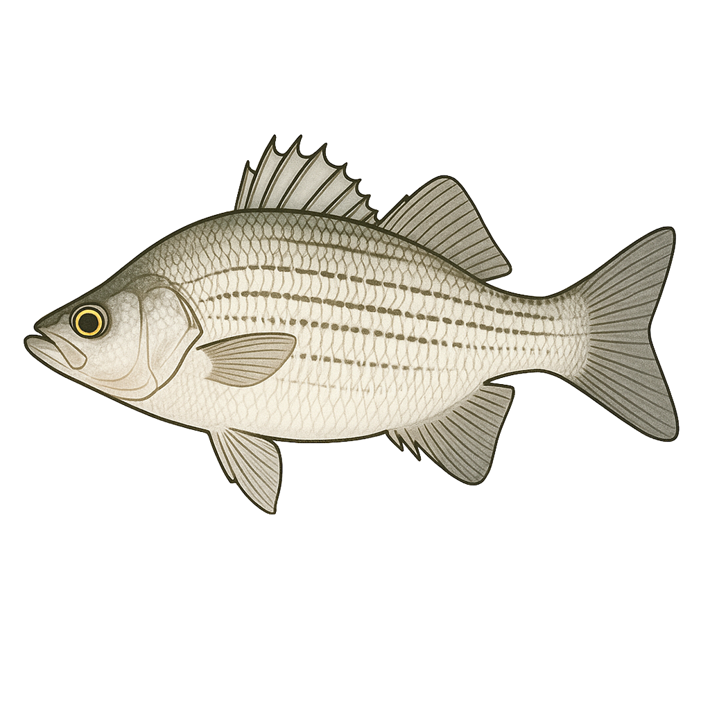
White Bass
Good
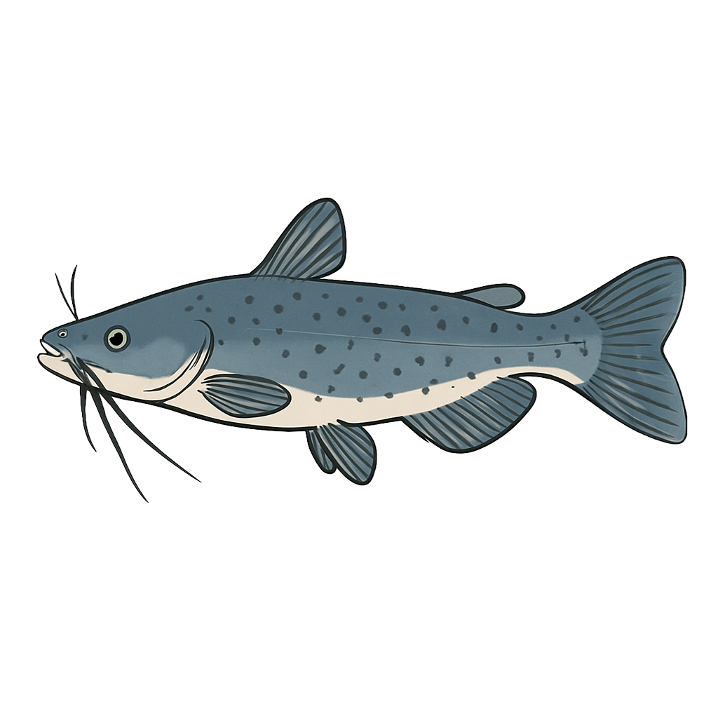
Channel Catfish

White Crappie
Species data sourced from Texas Parks & Wildlife Department
Joe Pool Lake Fishing Guide
Angling Opportunities
Largemouth bass are the most popular sport fish in the reservoir. The slot length limit is designed to encourage harvest of the smaller bass. White bass, white crappie and channel catfish are also popular with anglers.
Cover & Structure
The upper third of both arms of Joe Pool Lake is covered with the timber that was left in the lake when it filled. The lower end was cleared, but several large marked brush piles were constructed prior to filling. Numerous flooded stock ponds, bridges, road beds, and other features were left as structure when the lake was built.
Tips & Tactics
Largemouth bass are often found associated with hydrilla, pondweed, and underwater structural features. Crappie fishing is good under the bridges that cross the two arms of the lake and white bass school in the lower portion of the lake. Find channel catfish near the creek channels.
Fishing Regulations
Joe Pool Lake has special regulations on some fishes. Check current TPWD regulations before your trip.
Some links are affiliate links. We may earn a small commission at no cost to you.
Water Level History
| Date | Elevation | 24hr Change | % Full | Inflow | Outflow |
|---|---|---|---|---|---|
| Jul 15 | 521.88 ft | -0.01 | 99.5% | 91 | 16 |
| Jul 14 | 521.89 ft | +0.06 | 99.5% | 487 | 16 |
| Jul 13 | 521.84 ft | +0.05 | 99.3% | 27 | 16 |
Data source: US Army Corps of Engineers
More Lakes in Prairies & Lakes
Map & Directions
Lake Information
Region: Prairies & Lakes
USGS Site: 08049800
Data Sources
Fishing Reports
Texas Parks & Wildlife Department
Lake Details
TPWD Inland Fisheries
Water Levels
USGS Water Services
Weather
Open-Meteo
Maps
Mapbox