
TPWD weekly fishing reports are temporarily paused. All other data is updating daily.
Fish Species at Fayette County Reservoir

Largemouth Bass
Excellent

Redear Sunfish
Good

Blue Catfish
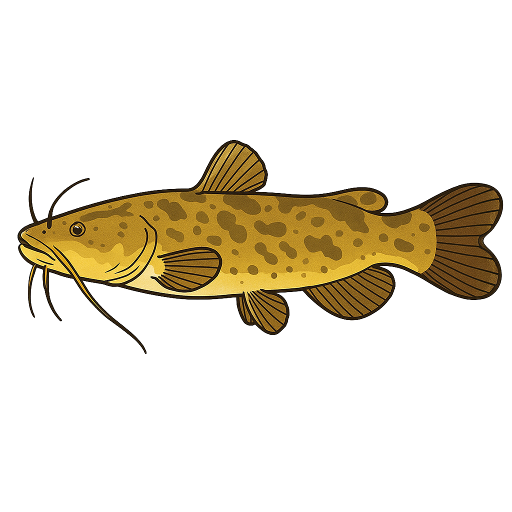
Flathead Catfish
Species data sourced from Texas Parks & Wildlife Department
Fayette County Reservoir Fishing Guide
Angling Opportunities
Fayette County Reservoir is first and foremost a largemouth bass lake. Statewide annual tournament surveys consistently rank this lake at or near the top using quality indicators like average weight and bass caught per hour. Large numbers of two- to five-pound fish are available and relatively easy to catch at most times of the year. Channel, blue, and flathead catfish have been stocked.
Cover & Structure
Standing timber provides cover in the back of some coves. Submerged aquatic vegetation is present in limited quantities. Submerged tank dams, drop offs, roadbeds and creek channels also provide structure.
Tips & Tactics
Largemouth bass fishermen can be successful year round in Fayette, but the most productive time is between February and June. A lipless crankbait can be very effective in the spring, and allows fishermen to quickly cover water. Chrome/blue and red are popular colors. Another extremely effective artificial bait is a Carolina-rigged centipede (french fry) or lizard. Fish slowly around points, along the dam or along drop-offs.
Fishing Regulations
Special bass limits and gear restrictions are in effect. In addition, the LCRA prohibits bow fishing at Fayette County Reservoir.
Some links are affiliate links. We may earn a small commission at no cost to you.
More Lakes in Prairies & Lakes
Map & Directions
Lake Information
Region: Prairies & Lakes
Data Sources
Fishing Reports
Texas Parks & Wildlife Department
Lake Details
TPWD Inland Fisheries
Water Levels
USGS Water Services
Weather
Open-Meteo
Maps
Mapbox