
TPWD weekly fishing reports are temporarily paused. All other data is updating daily.
Fish Species at Cedar Creek Lake

Largemouth Bass
Good

White Crappie
Good
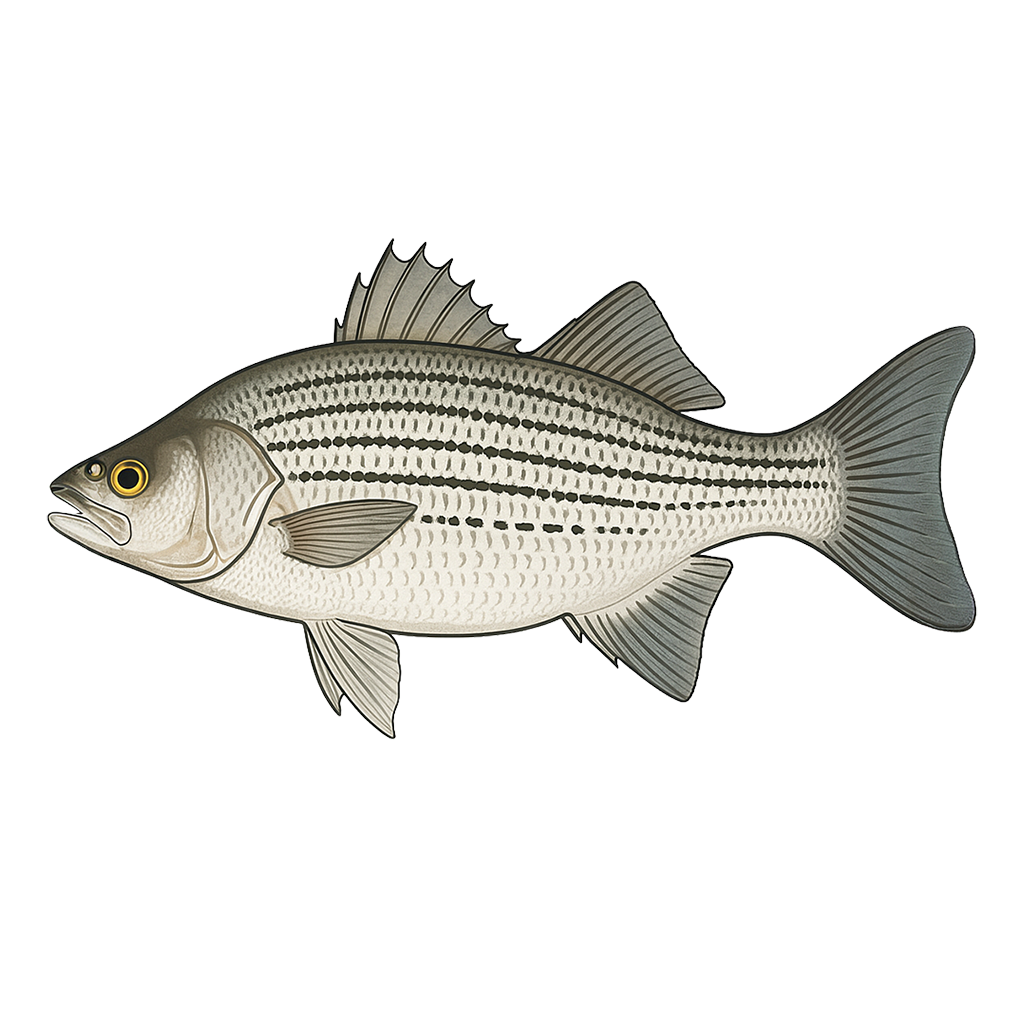
Hybrid Striped Bass
Excellent
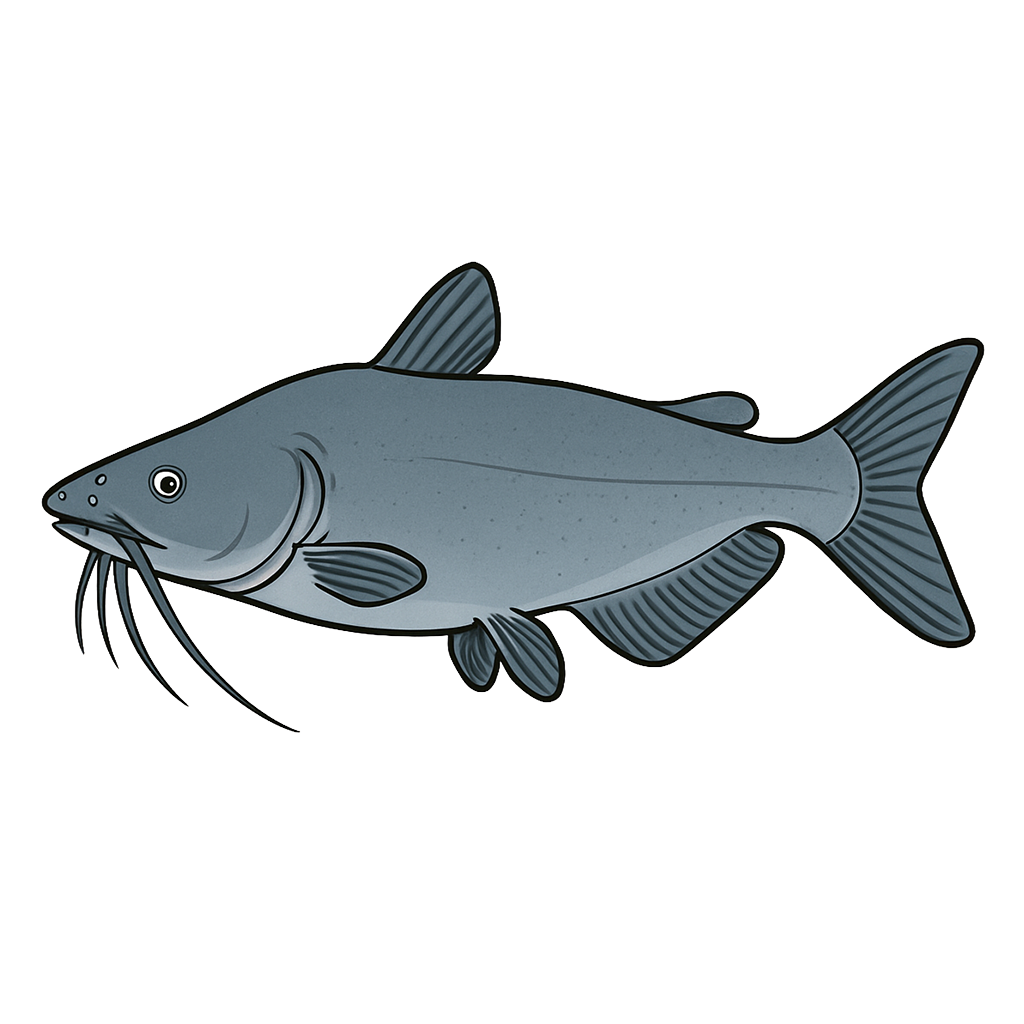
Blue Catfish
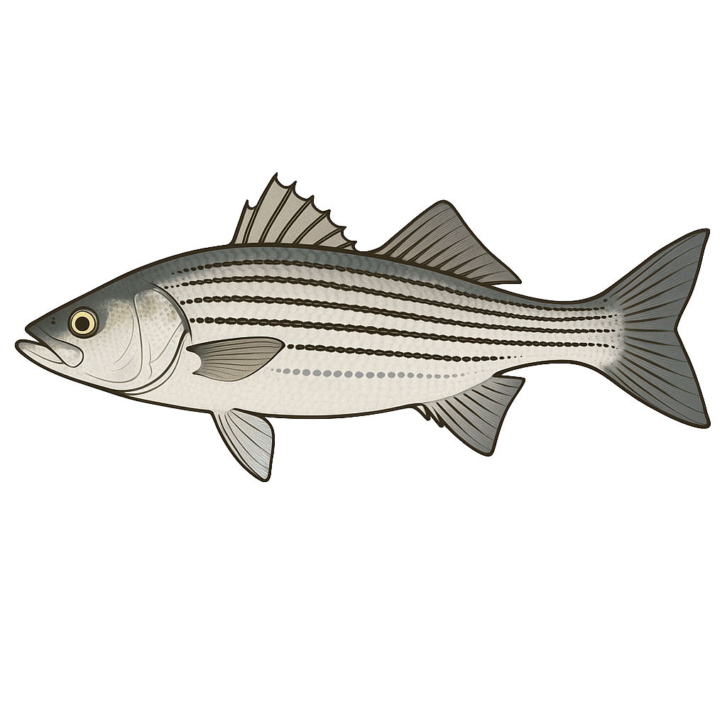
Striped Bass
Species data sourced from Texas Parks & Wildlife Department
Cedar Creek Lake Fishing Guide
Angling Opportunities
Largemouth bass fishing is best in the lower end of the reservoir where the water is clear. The lake record weighed 14.65 pounds. Catfishes are abundant, with more blues than channel cats in the legal size range. Hybrid striped bass are stocked annually and the lake record is 13.19 pounds.
Cover & Structure
Most submerged vegetation is located in the backs of coves in the lower end of the reservoir. Some emergent vegetation is present in the upper end but water is very shallow. Look for submersed islands across the lake from the confluence of Clear and Caney creeks.
Tips & Tactics
fishermen generally follow the birds to find schools of white bass and hybrids. Action can be good all year but is particularly good in the spring. Look for largemouth bass in the weedy back ends of coves in the lower third of the lake. Use cut shad or live bait for blue catfish.
Fishing Regulations
All species at Cedar Creek Lake are managed under standard Texas statewide regulations.
Some links are affiliate links. We may earn a small commission at no cost to you.
Water Level History
| Date | Elevation | 24hr Change | % Full | Inflow | Outflow |
|---|---|---|---|---|---|
| Jul 15 | 318.67 ft | +0.01 | 84.0% | 992 | 0 |
| Jul 14 | 318.63 ft | +0.12 | 83.8% | 2,879 | 0 |
| Jul 13 | 318.48 ft | +0.07 | 83.1% | 428 | 0 |
Data source: US Army Corps of Engineers
More Lakes in Prairies & Lakes
Map & Directions
Lake Information
Region: Prairies & Lakes
USGS Site: 303209097473000
Data Sources
Fishing Reports
Texas Parks & Wildlife Department
Lake Details
TPWD Inland Fisheries
Water Levels
USGS Water Services
Weather
Open-Meteo
Maps
Mapbox