
TPWD weekly fishing reports are temporarily paused. All other data is updating daily.
Fish Species at Bryan Lake

Largemouth Bass
Fair

White Crappie
Fair

Sunfish
Good
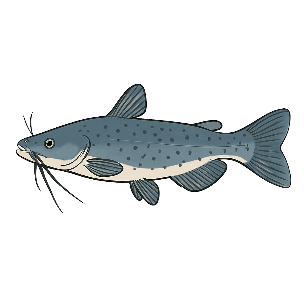
Channel Catfish
Species data sourced from Texas Parks & Wildlife Department
Bryan Lake Fishing Guide
Angling Opportunities
Largemouth bass fishing is fair at Lake Bryan. The lack of suitable habitat limits spawning and recruitment success. Anglers fishing around rip rapped shoreline can still expect to have moderate success catching fish from 14 to 16 inches. Channel catfish are also quite abundant and are easily caught on natural baits from either a boat or the bank.
Cover & Structure
Very little natural cover exists in Lake Bryan. The most common cover is the abundant rip rap rock around the extensive dam structure on both sides of the lake. Mossback fish habitat structures have been installed in five locations.
Tips & Tactics
Largemouth bass fishermen are most successful during early spring and fall. Most successful fishermen fish from a boat around the abundant rip rap along the dam as well at the end of the discharge canal. The most commonly used baits are fish imitating crank baits and soft plastics. Channel catfish fishermen will be most successful using natural smelly baits fished on or near the bottom. While most catfish caught are rather small, there are plenty of 12 to 14 inch fish to ensure at least a few for the cooler.
Fishing Regulations
Special bass limits and gear restrictions are in effect on Bryan Lake.
Some links are affiliate links. We may earn a small commission at no cost to you.
More Lakes in Prairies & Lakes
Map & Directions
Lake Information
Region: Prairies & Lakes
Data Sources
Fishing Reports
Texas Parks & Wildlife Department
Lake Details
TPWD Inland Fisheries
Water Levels
USGS Water Services
Weather
Open-Meteo
Maps
Mapbox