
TPWD weekly fishing reports are temporarily paused. All other data is updating daily.
Fish Species at Bridgeport Lake

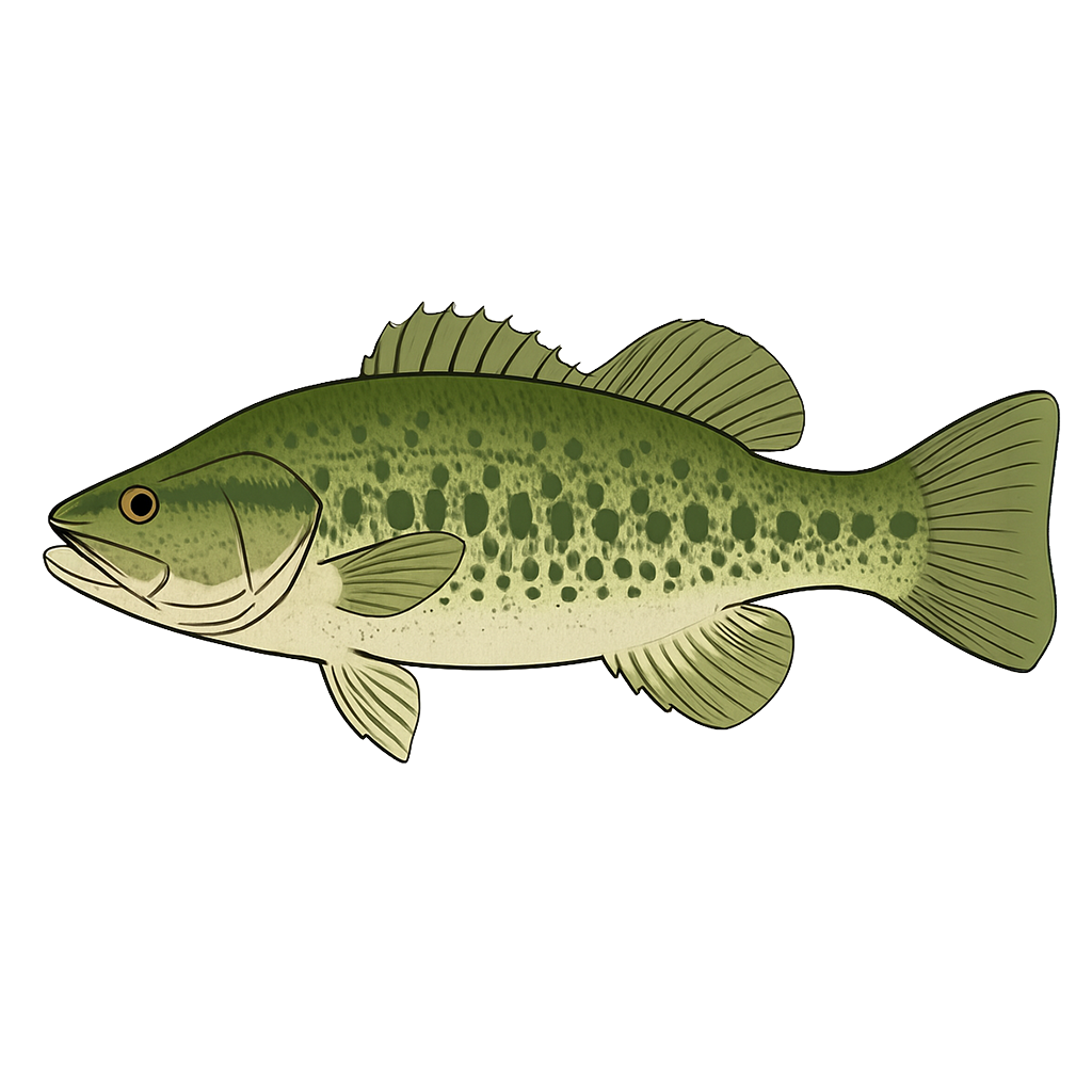
Largemouth Bass
Good
Spotted Bass
Good

White Crappie
Excellent
Hybrid Striped Bass
Excellent

Sunfish
Good
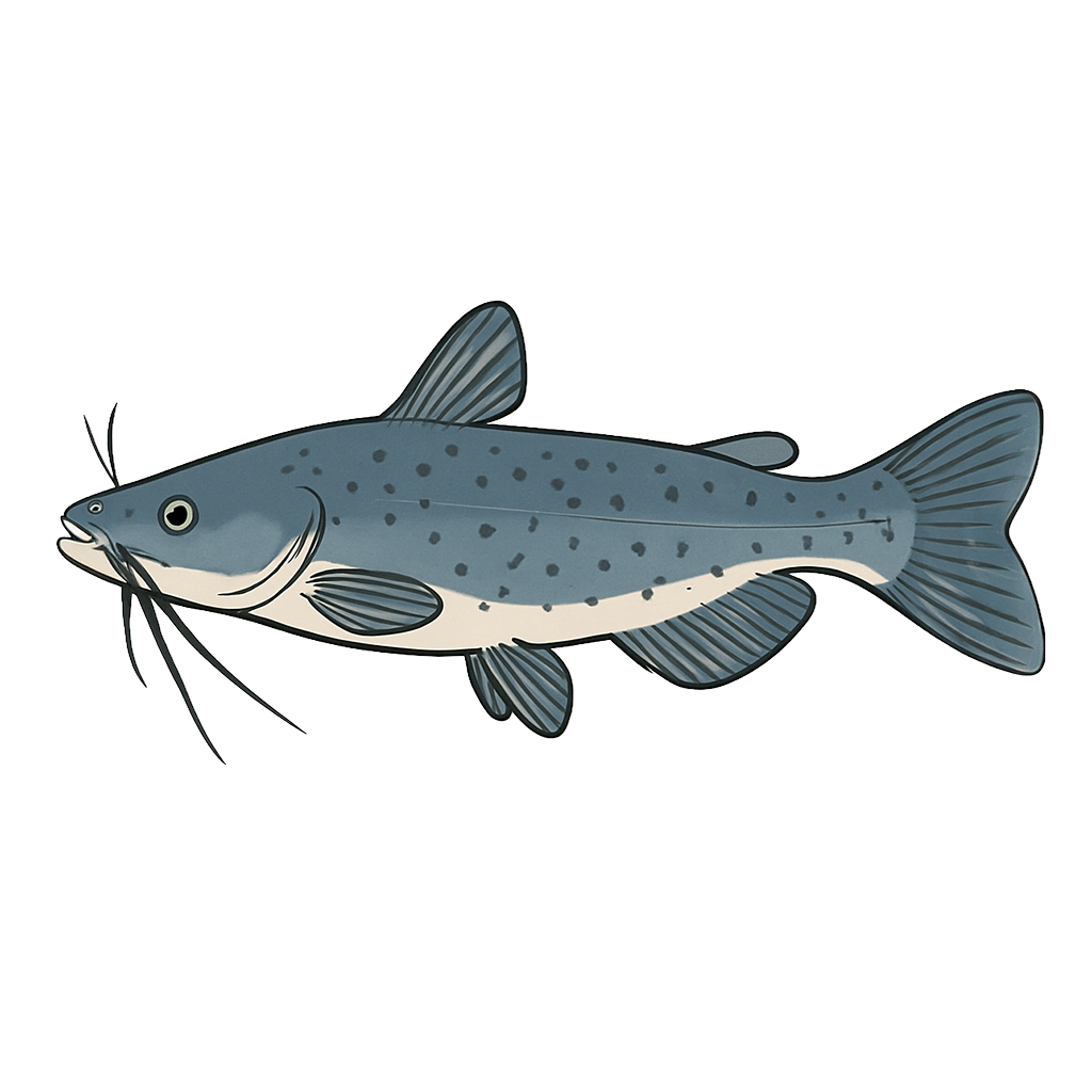
Channel Catfish
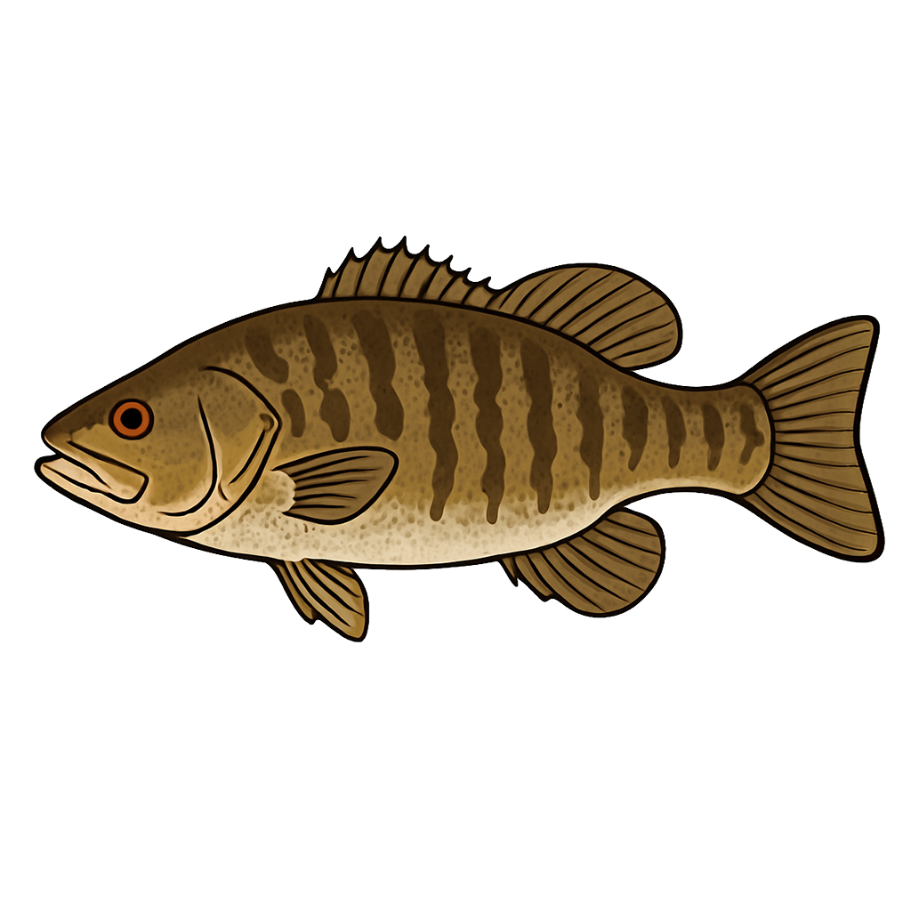
Smallmouth Bass
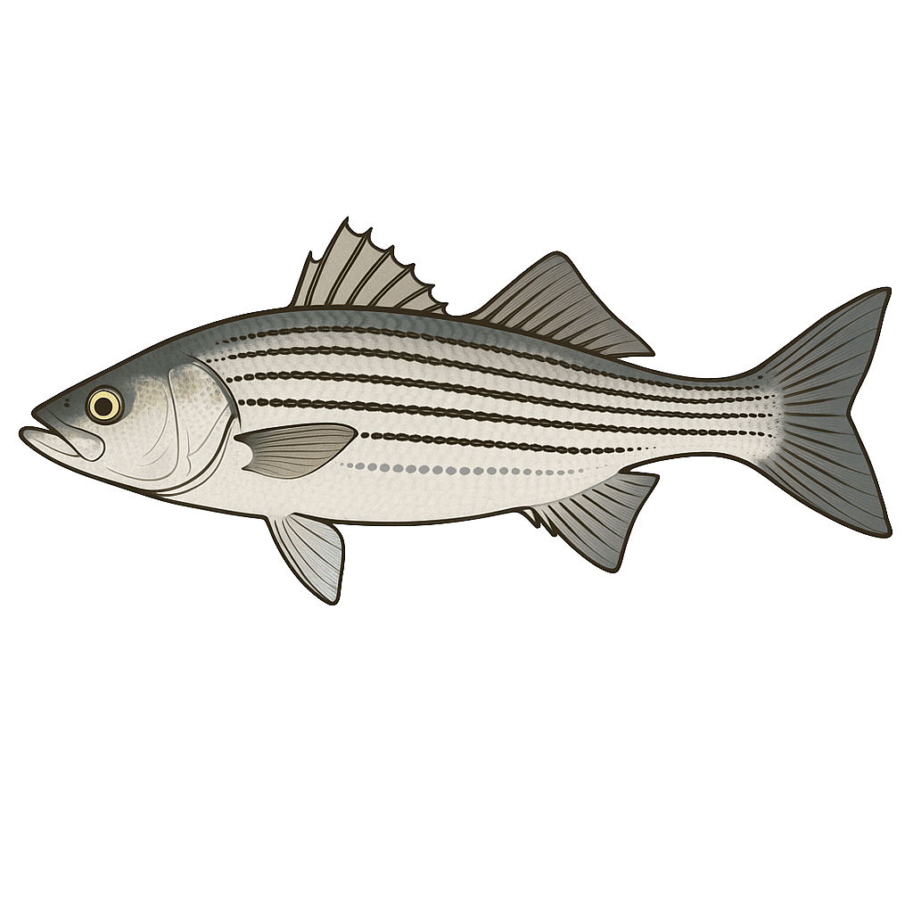
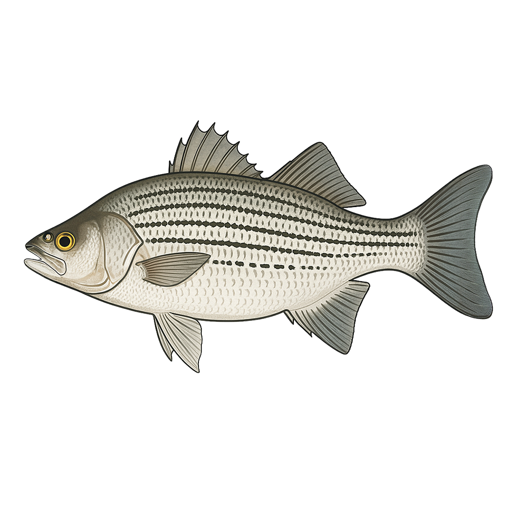
Striped Bass
Species data sourced from Texas Parks & Wildlife Department
Bridgeport Lake Fishing Guide
Angling Opportunities
Bridgeport Lake is a 11,954-acre reservoir offering fishing for Largemouth & Smallmouth Bass, Spotted Bass, Catfish and more. Spring and fall are peak seasons across all species.
Cover & Structure
Most of Lake Bridgeport's 170-mile shoreline is good bass habitat, with 7 miles of rip-rap, 90 miles of boulders, and many coves and points. Near the Lakeview Lodge on the Sid Richardson Scout Ranch, near Windy Point, Captain Kidd Point, and Steele Island, there are submerged gravel piles that were deposited when the West Fork Trinity River flowed free and uncontrolled. These piles provide excellent habitat for white bass and black basses.
Tips & Tactics
Crappie are caught most often when the fish school around structure in deep water in the winter and in the spring when they come into shallow water to spawn. Many main-lake points, ledges, and channels provide excellent wintertime habitat. In spring, two of the best spots for crappie are Bean Creek and Big Creek. Fish year round with minnows or jigs. Channel catfish are best in the spring when tributaries are running, and again in summer when the fish concentrate atop submerged flats and can be drift-fished with shrimp or cut bait.
Fishing Regulations
All species at Bridgeport Lake are managed under standard Texas statewide regulations.
Some links are affiliate links. We may earn a small commission at no cost to you.
Water Level History
| Date | Elevation | 24hr Change | % Full | Inflow | Outflow |
|---|---|---|---|---|---|
| Jul 15 | 831.63 ft | -0.04 | 86.4% | -4 | 82 |
| Jul 14 | 831.67 ft | -0.01 | 86.3% | 13 | 0 |
| Jul 13 | 831.69 ft | 0.00 | 86.4% | -10 | 0 |
Data source: US Army Corps of Engineers
More Lakes in Prairies & Lakes
Map & Directions
Lake Information
Region: Prairies & Lakes
USGS Site: 08043000
Data Sources
Fishing Reports
Texas Parks & Wildlife Department
Lake Details
TPWD Inland Fisheries
Water Levels
USGS Water Services
Weather
Open-Meteo
Maps
Mapbox