
TPWD weekly fishing reports are temporarily paused. All other data is updating daily.
Fish Species at Lake Travis

Largemouth Bass
Good

White Crappie
Poor
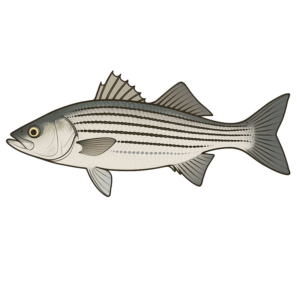
White Bass
Good
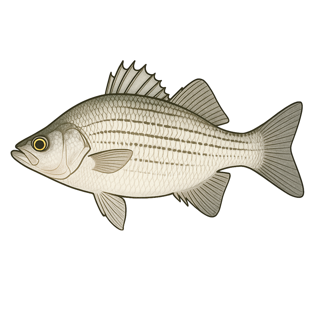
Striped Bass
Fair

Sunfish
Good
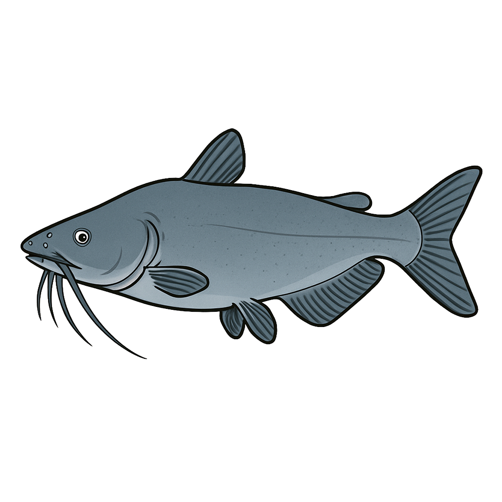
Blue Catfish
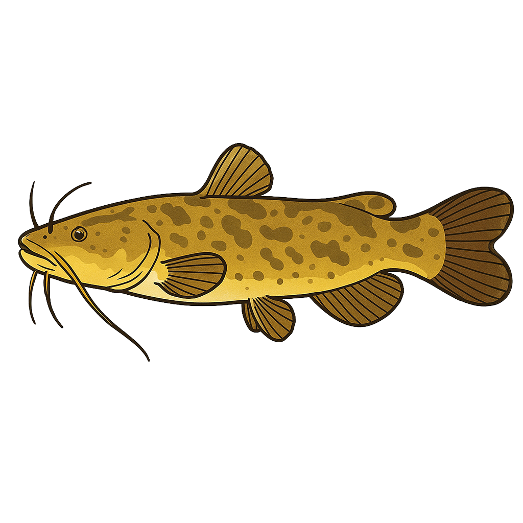
Flathead Catfish
Species data sourced from Texas Parks & Wildlife Department
Lake Travis Fishing Guide
Angling Opportunities
Lake Travis is noted for producing good numbers of largemouth bass, although they tend to run small. Very few trophy largemouth bass have been caught. White bass runs occur in the spring (February-May) in the major creek arms, the Pedernales River and the upper end of the Colorado River arm. A low-density striped bass fishery is available in the extreme lower end of the reservoir.
Cover & Structure
Lake Travis is dominated by rocky banks, steep cliffs, and clear water typical of a highland reservoir. The water tends to become more stained as one moves up the lake, with some portions of the upper end more closely resembling a flatland type lake. In the lower end of the reservoir, marinas, floating boat docks, rockpiles, ledges, and steep drop-offs provide cover for game fish.
Tips & Tactics
Largemouth bass fishermen have their best success on this reservoir during the spring and fall months. Bass fishing from June through August can be difficult for even the most experienced fishermen. Topwater baits such as Zara Spooks, Jumping Minnows, Pop-R's, and suspended jerkbaits are popular with bass fishermen. Double willowleaf spinnerbaits with metal flake blades also work well. In Lake Travis, largemouth bass are famous for suspending over points and along drop-offs.
Fishing Regulations
Bow fishers on Lake Travis are subject to special regulations enforced by the LCRA. Check current TPWD regulations before your trip.
Some links are affiliate links. We may earn a small commission at no cost to you.
Water Level History
| Date | Elevation | 24hr Change | % Full | Inflow | Outflow |
|---|---|---|---|---|---|
| Jul 15 | 671.41 ft | +0.05 | 84.3% | 86 | 0 |
| Jul 14 | 671.36 ft | +0.03 | 84.3% | 679 | 0 |
| Jul 13 | 671.29 ft | -0.07 | 84.2% | 257 | 0 |
Data source: US Army Corps of Engineers
More Lakes in Hill Country
Map & Directions
Lake Information
Region: Hill Country
USGS Site: 08154500
Data Sources
Fishing Reports
Texas Parks & Wildlife Department
Lake Details
TPWD Inland Fisheries
Water Levels
USGS Water Services
Weather
Open-Meteo
Maps
Mapbox