
TPWD weekly fishing reports are temporarily paused. All other data is updating daily.
Fish Species at Georgetown Lake

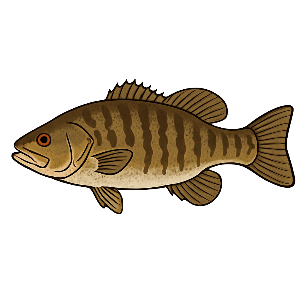
Largemouth Bass
Good
Smallmouth Bass
Fair
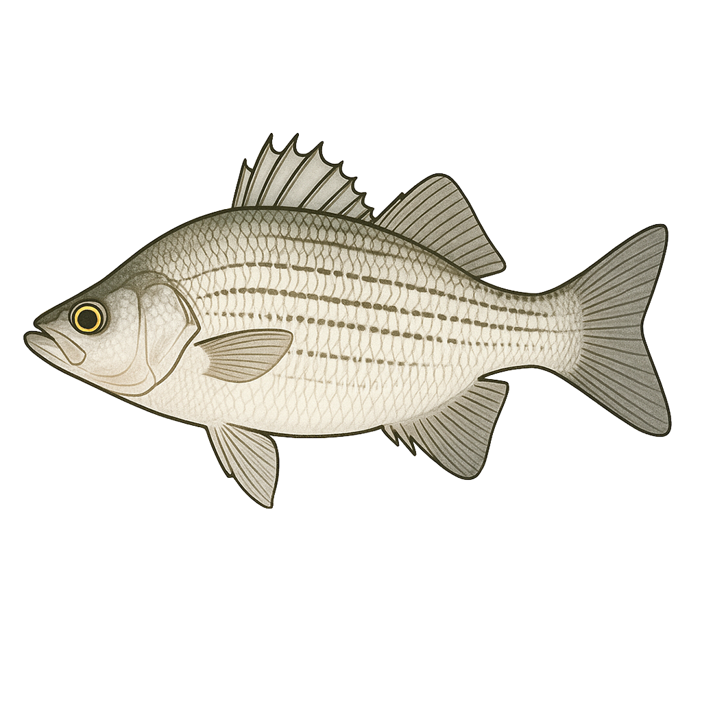
White Bass
Excellent
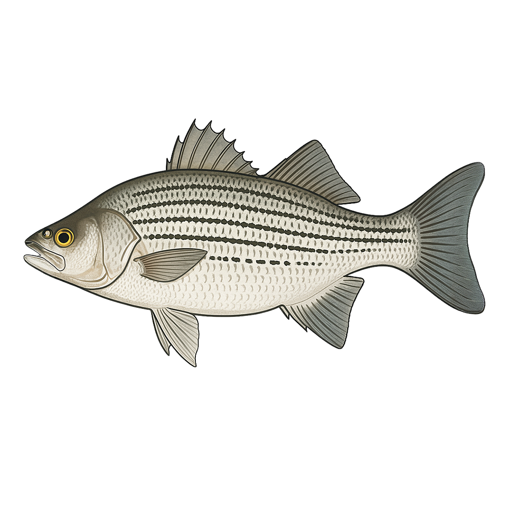
Hybrid Striped Bass
Good

Sunfish
Good
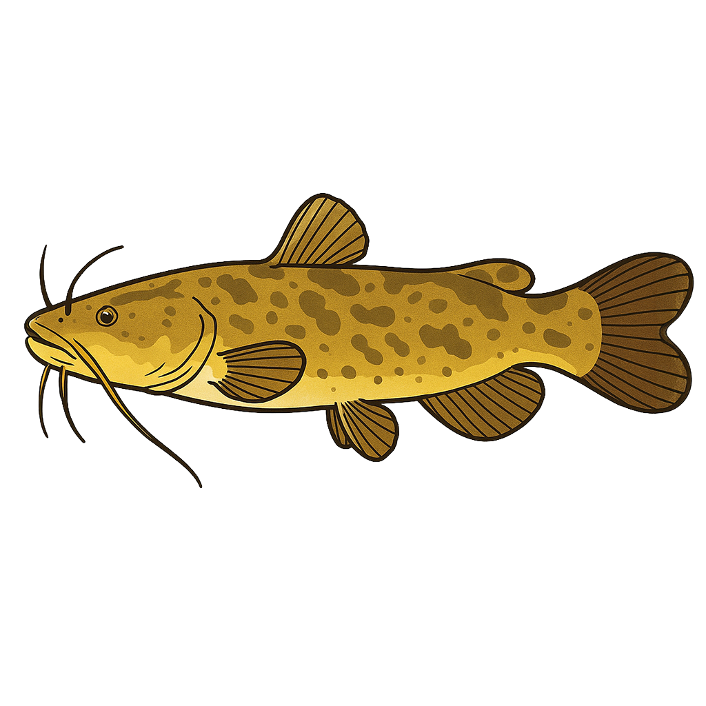
Flathead Catfish

White Crappie
Species data sourced from Texas Parks & Wildlife Department
Georgetown Lake Fishing Guide
Angling Opportunities
Lake Georgetown contains a high density largemouth bass population. Several catches of largemouth over 10 pounds have been documented in the past. A moderately low-density smallmouth bass population seems limited to the lower end of the reservoir. The reservoir also has a good white bass population with runs occurring up the North Fork of the San Gabriel River in the spring (February-May).
Cover & Structure
Lake Georgetown is a typical highland type reservoir with steeply sloping banks covered with limestone rock in sizes ranging from gravel to boulders. Water fluctuations are common and prevent aquatic vegetation from establishing itself. Most of the shoreline is owned by the USACE.
Tips & Tactics
Largemouth bass fishermen have their best success on this reservoir during the spring and fall. During the hot summer months, largemouth bass fishermen will experience greater success fishing at night. In the lower section of the reservoir where the water generally remains clear, topwater lures, metal flake willowleaf spinnerbaits, and shallow- to medium-depth crankbaits work well along rocky banks. Do not be surprised to catch a few smallmouth bass using this technique. In mid and upper sections of the reservoir, casting jigs, soft/hard jerkbaits, and spinnerbaits to wood or rock cover might bring strikes from hungry largemouth bass.
Fishing Regulations
All species at Georgetown Lake are managed under standard Texas statewide regulations.
Some links are affiliate links. We may earn a small commission at no cost to you.
Water Level History
| Date | Elevation | 24hr Change | % Full | Inflow | Outflow |
|---|---|---|---|---|---|
| Jul 15 | 793.29 ft | +0.06 | 100.0% | 152 | 0 |
| Jul 14 | 793.15 ft | +0.05 | 100.0% | 49 | 0 |
| Jul 13 | 793.18 ft | -0.04 | 100.0% | 36 | 0 |
Data source: US Army Corps of Engineers
More Lakes in Hill Country
Map & Directions
Lake Information
Region: Hill Country
USGS Site: 08104650
Data Sources
Fishing Reports
Texas Parks & Wildlife Department
Lake Details
TPWD Inland Fisheries
Water Levels
USGS Water Services
Weather
Open-Meteo
Maps
Mapbox