
TPWD weekly fishing reports are temporarily paused. All other data is updating daily.
Fish Species at Inks Lake

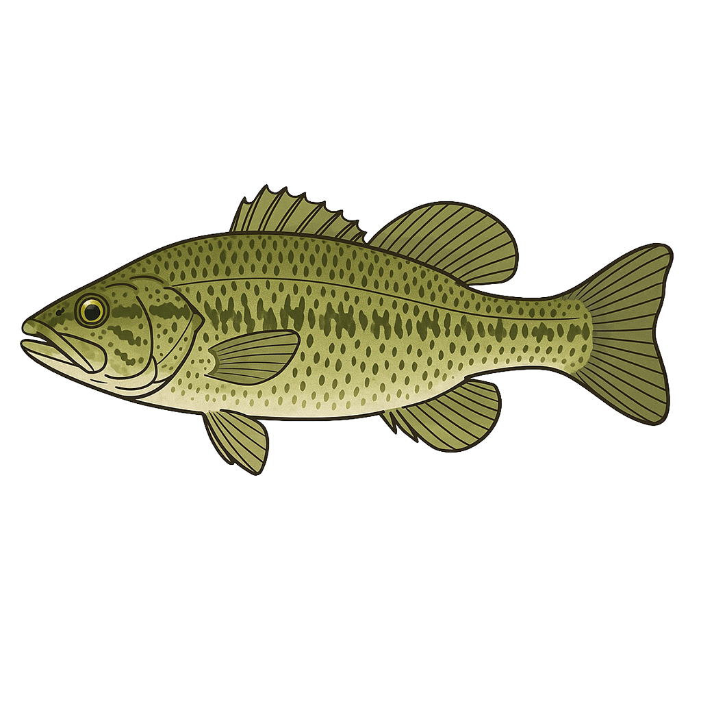
Largemouth Bass
Good
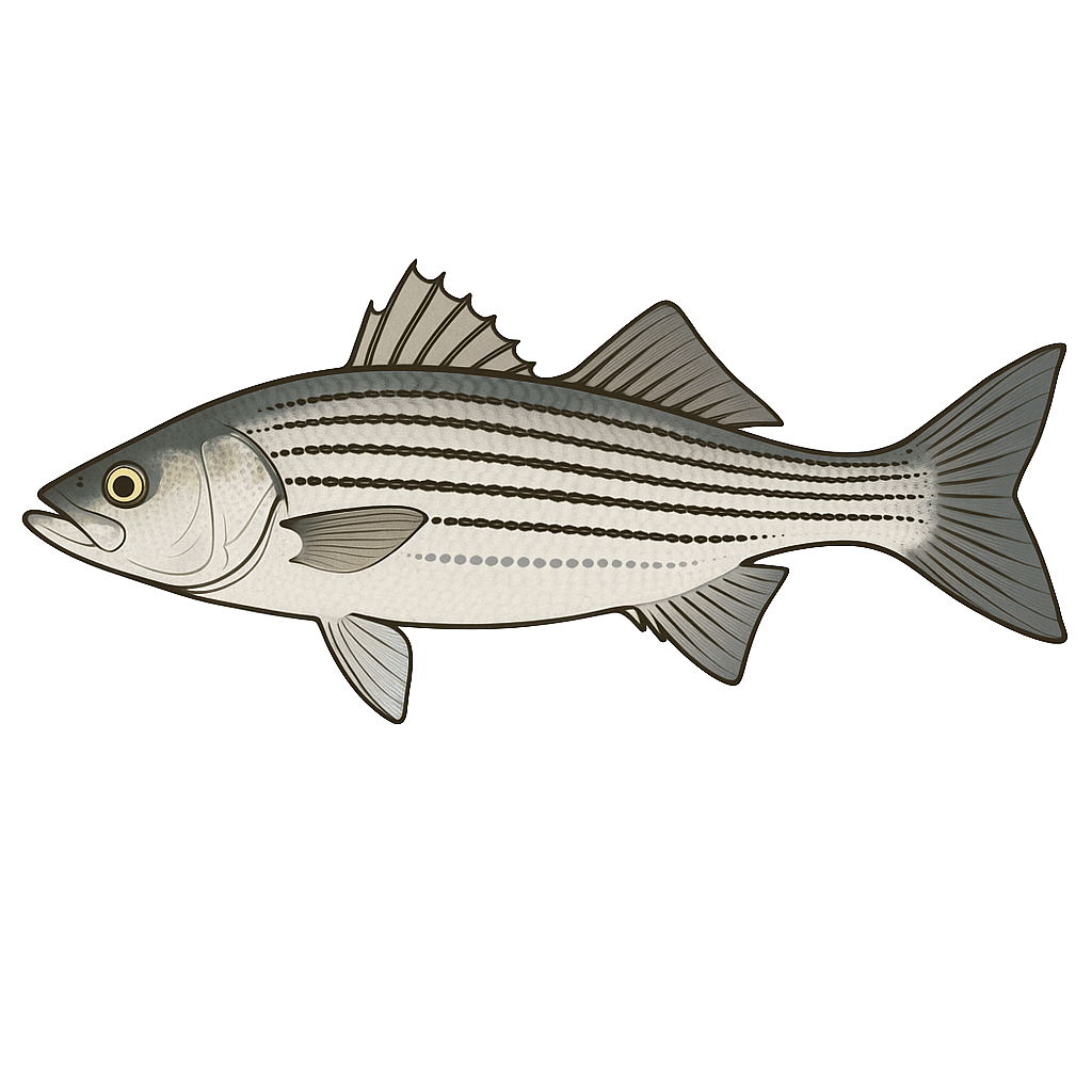
Striped Bass
Fair

Sunfish
Good
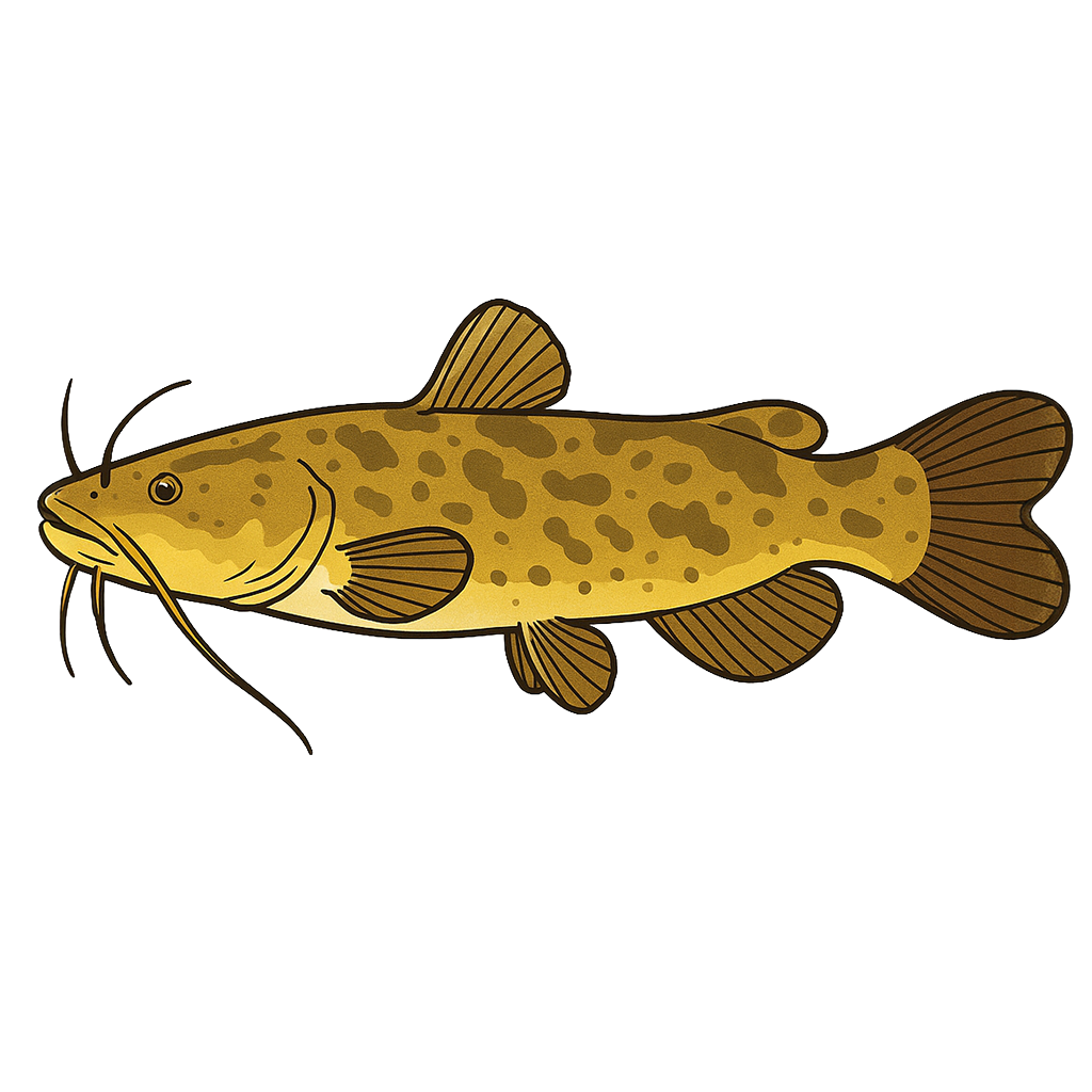
Flathead Catfish

White Crappie
Guadalupe Bass
Bluegill
Species data sourced from Texas Parks & Wildlife Department
Inks Lake Fishing Guide
Angling Opportunities
Inks Lake is noted for its picturesque scenery, but fishing can be good as well. It contains under-rated largemouth bass and Guadalupe bass populations, along with several species of sunfish (bream). White bass are regularly caught in the reservoir, and a low density white crappie population is present. Channel and flathead catfish occur throughout the reservoir.
Cover & Structure
Inks Lake offers a variety of cover and structure. The shoreline contains numerous rock piles, ledges, and chunk rock banks. Brush piles and gravel beds have been placed near fishing piers and other strategic locations to attract more fish.
Tips & Tactics
Largemouth bass fishermen may find success by fishing topwater lures, metal flake willow leaf spinnerbaits and shallow- to medium-depth crankbaits worked along rocky banks. Flipping boat docks with jigs and plastic worms can also be productive. Bluegill and redbreast sunfish up 8 inches in length can be caught using meal worms, crickets, or pieces of earthworms fished under floats almost anywhere along the shoreline. Often, the larger sunfish can be caught in slightly deeper water without the use of a float. Starting in February, white bass begin congregating in the upper end of the reservoir as the urge to spawn motivates their movements.
Fishing Regulations
Bow fishers on Inks Lake are subject to special regulations enforced by the LCRA. Check current TPWD regulations before your trip.
Some links are affiliate links. We may earn a small commission at no cost to you.
Water Level History
| Date | Elevation | 24hr Change | % Full | Inflow | Outflow |
|---|---|---|---|---|---|
| Jul 15 | 887.22 ft | -- | 95.5% | -- | -- |
| Jul 14 | 887.11 ft | -- | 94.8% | -- | -- |
| Jul 13 | 886.99 ft | -- | 94.2% | -- | -- |
Data source: US Army Corps of Engineers
More Lakes in Hill Country
Map & Directions
Lake Information
Region: Hill Country
USGS Site: 08148100
Data Sources
Fishing Reports
Texas Parks & Wildlife Department
Lake Details
TPWD Inland Fisheries
Water Levels
USGS Water Services
Weather
Open-Meteo
Maps
Mapbox