
TPWD weekly fishing reports are temporarily paused. All other data is updating daily.
Fish Species at Brownwood Lake

Largemouth Bass
Good
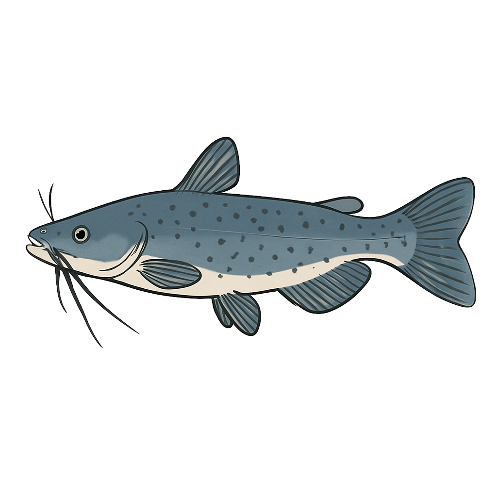
Channel Catfish
Good

White Crappie
Fair
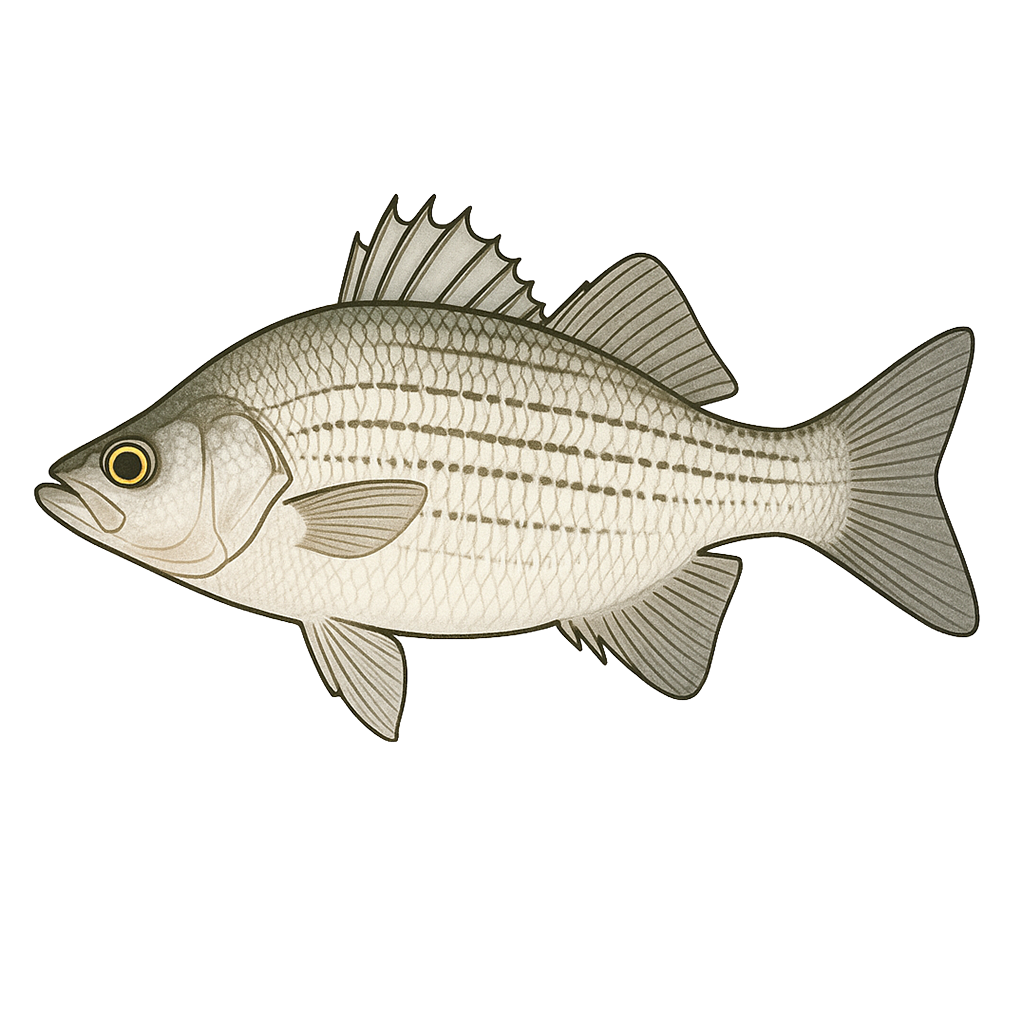
White Bass
Excellent

Sunfish
Fair
Freshwater Drum
Species data sourced from Texas Parks & Wildlife Department
Brownwood Lake Fishing Guide
Angling Opportunities
Largemouth bass and white bass fishing are rated good to excellent. Summer and early fall are particularly good for white bass. Florida largemouth bass were introduced in 1975. Catfish, crappie, and freshwater drum can also be found in this lake.
Cover & Structure
Lake Brownwood has many small coves, bays, and creeks with a variety of habitat. The lake is primarily lined by rocky structure and boat docks. The upper end of the Jim Ned and Pecan Bayou arms have standing timber, black willow trees and buttonbush.
Tips & Tactics
White bass are most easily caught from early May through October when they school in the main lake area. During this time, they can be caught on the surface. "Slabbing" �-1oz. slab spoons along creek and river channels in 12-25 feet of water in late summer for whites can produce some fantastic fishing. "Jumpfishing" is a popular technique for schools of surface-feeding fish.
Fishing Regulations
All species at Brownwood Lake are managed under standard Texas statewide regulations.
Some links are affiliate links. We may earn a small commission at no cost to you.
Water Level History
| Date | Elevation | 24hr Change | % Full | Inflow | Outflow |
|---|---|---|---|---|---|
| Jul 14 | 1421.87 ft | -- | 85.0% | -- | -- |
| Jul 13 | 1421.73 ft | -- | 84.3% | -- | -- |
| Jul 12 | 1421.60 ft | -- | 83.7% | -- | -- |
Data source: US Army Corps of Engineers
More Lakes in Hill Country
Map & Directions
Lake Information
Region: Hill Country
USGS Site: 08143000
Data Sources
Fishing Reports
Texas Parks & Wildlife Department
Lake Details
TPWD Inland Fisheries
Water Levels
USGS Water Services
Weather
Open-Meteo
Maps
Mapbox