
TPWD weekly fishing reports are temporarily paused. All other data is updating daily.
Fish Species at O.H. Ivie Lake

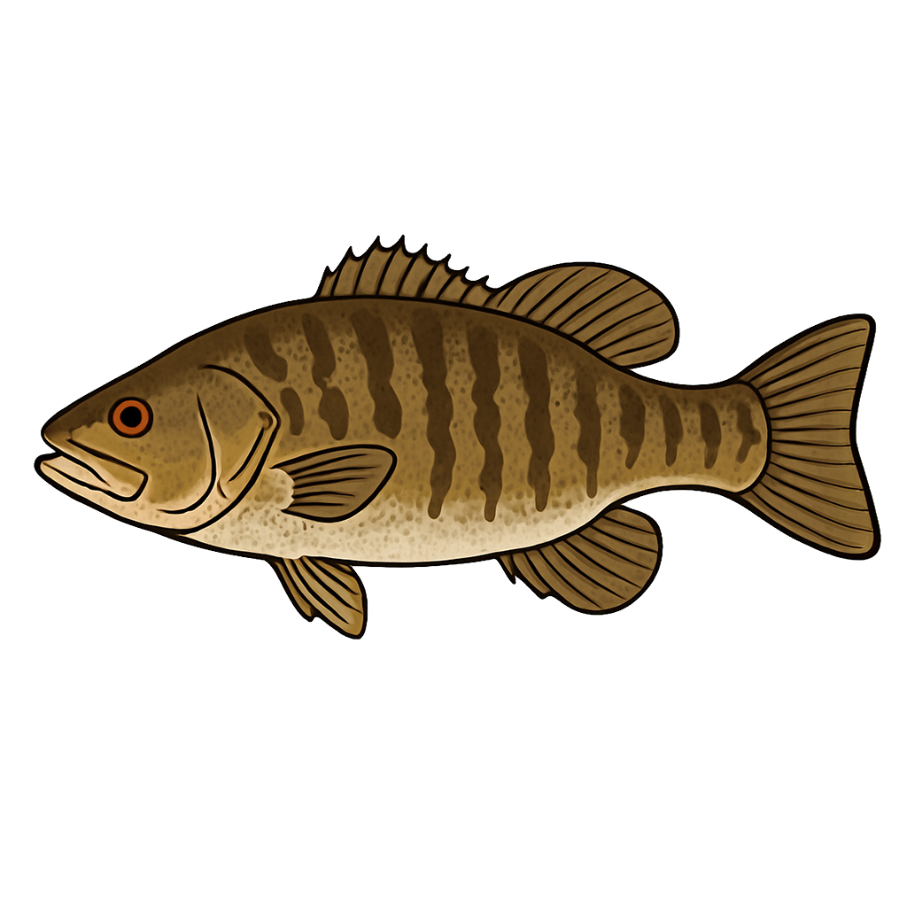
Largemouth Bass
Good
Smallmouth Bass
Fair
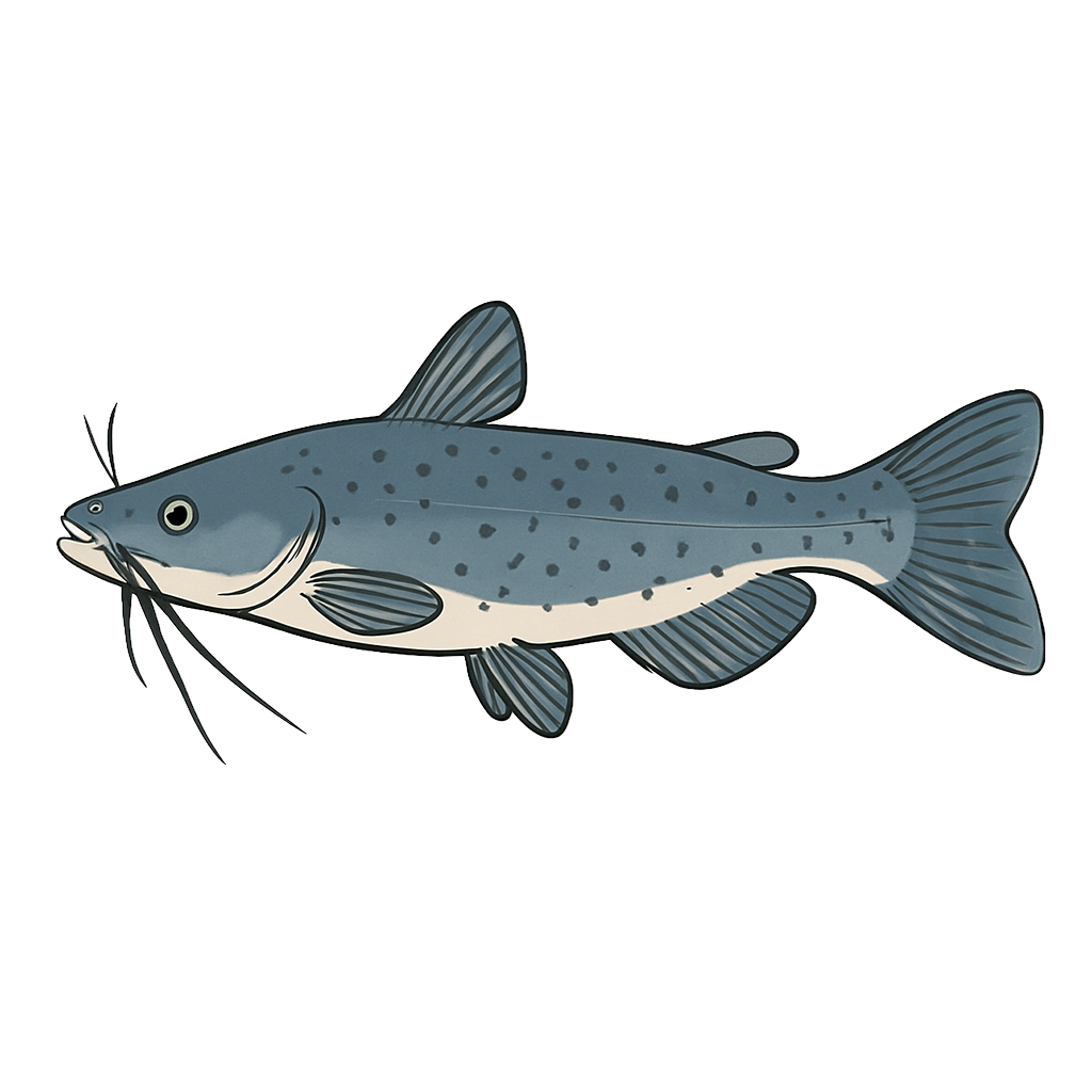
Channel Catfish
Good

White Crappie
Good
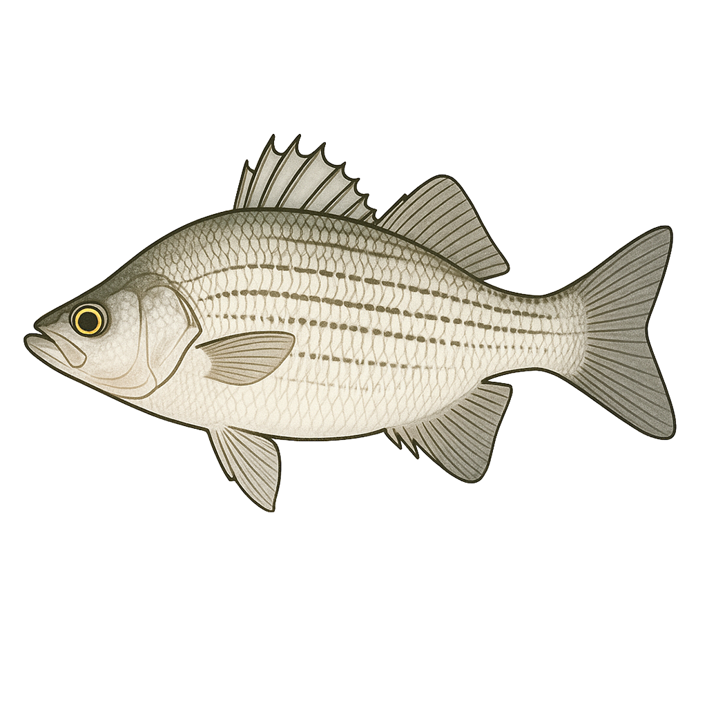
White Bass
Good

Sunfish
Poor
Species data sourced from Texas Parks & Wildlife Department
O.H. Ivie Lake Fishing Guide
Angling Opportunities
O.H. Ivie Lake is a 19,149-acre reservoir offering fishing for Largemouth Bass, Smallmouth Bass, Catfish and more. Spring and fall are peak seasons across all species.
Cover & Structure
Cover in the reservoir is primarily standing timber. The trees and brush were not cleared from the reservoir basin before the lake was impounded, so there are thousands of acres of flooded mesquite, oak, and juniper trees in all parts of the reservoir. Flooded saltcedar also makes up a large proportion of the fish cover.
Tips & Tactics
Largemouth bass are caught using live bait and artificial baits around the aquatic vegetation and standing timber. Another effective bass technique is flipping jigs or soft plastics into the saltcedar. Trophy-sized fish are caught on Carolina-rigged plastic worms, minnows and water dogs fished off deep (20+ feet) humps and drop-offs. Catfish are caught all over the reservoir using live and cut baits. Crappie fishing is usually best at night.
Fishing Regulations
O.H. Ivie Lake has special regulations on some fishes. Check current TPWD regulations before your trip.
Some links are affiliate links. We may earn a small commission at no cost to you.
Water Level History
| Date | Elevation | 24hr Change | % Full | Inflow | Outflow |
|---|---|---|---|---|---|
| Jul 14 | 1531.85 ft | -- | 46.4% | -- | -- |
| Jul 13 | 1531.87 ft | -- | 46.4% | -- | -- |
| Jul 12 | 1531.91 ft | -- | 46.5% | -- | -- |
Data source: US Army Corps of Engineers
More Lakes in Panhandle Plains
Map & Directions
Lake Information
Region: Panhandle Plains
USGS Site: 08136600
Data Sources
Fishing Reports
Texas Parks & Wildlife Department
Lake Details
TPWD Inland Fisheries
Water Levels
USGS Water Services
Weather
Open-Meteo
Maps
Mapbox