
TPWD weekly fishing reports are temporarily paused. All other data is updating daily.
Fish Species at O.C. Fisher Lake

Largemouth Bass
Fair
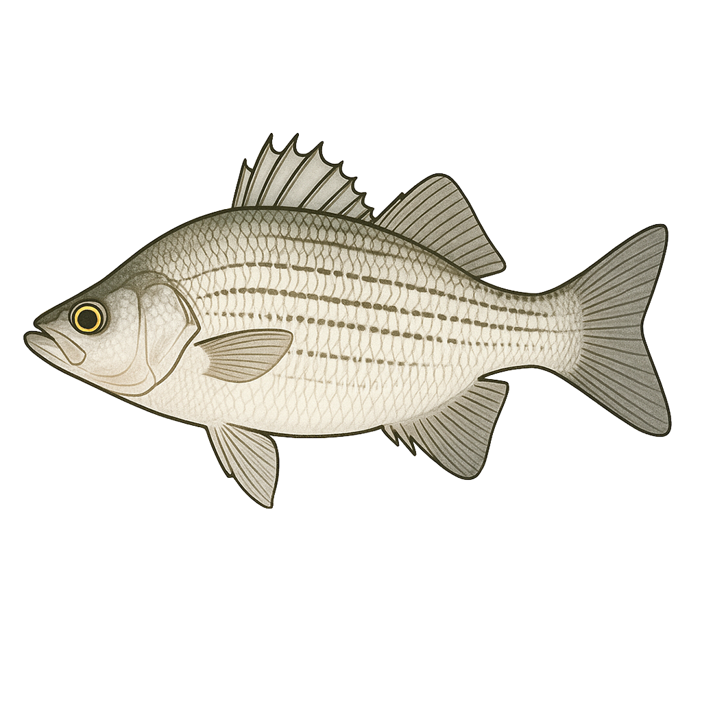
White Bass
Poor

Sunfish
Fair
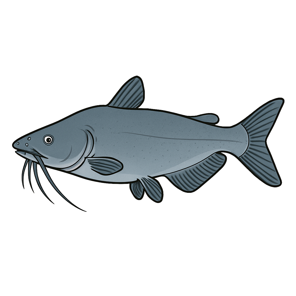
Blue Catfish
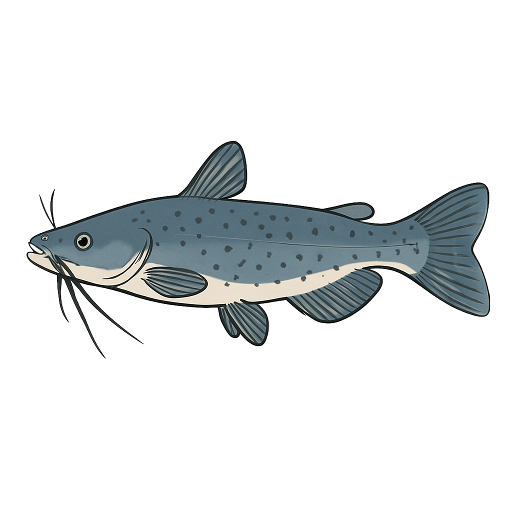
Channel Catfish

White Crappie
Bluegill
Species data sourced from Texas Parks & Wildlife Department
O.C. Fisher Lake Fishing Guide
Angling Opportunities
O.C. Fisher was effectively dry in early 2015, but water levels improved in spring. TPWD has restocked the reservoir with largemouth bass, white crappie, blue catfish, channel catfish, and bluegill. Although a few large fish can be caught, most fish are small as they are only one to two years old.
Cover & Structure
Structure in O.C. Fisher Lake is comprised of rip rap, mud banks, creek channels, submerged humps, and drop-offs. Cover is primarily flooded terrestrial vegetation and rocks.
Tips & Tactics
Catfishes are caught all over the reservoir on live baits and prepared baits. Largemouth bass are caught using minnows and artificial lures in the flooded vegetation, rip-rap, humps, and drop-offs. White bass are best caught by trolling artificial lures in open water near the humps and drop-offs. Crappie are caught on jigs and minnows nears drop-offs and humps.
Fishing Regulations
All species at O.C. Fisher Lake are managed under standard Texas statewide regulations.
Some links are affiliate links. We may earn a small commission at no cost to you.
Water Level History
| Date | Elevation | 24hr Change | % Full | Inflow | Outflow |
|---|---|---|---|---|---|
| Jul 15 | 1874.20 ft | +0.03 | 12.8% | 19 | 1 |
| Jul 14 | 1874.18 ft | -0.02 | 12.8% | -1 | 1 |
| Jul 13 | 1874.21 ft | -0.02 | 12.8% | 1 | 1 |
Data source: US Army Corps of Engineers
More Lakes in Panhandle Plains
Map & Directions
Lake Information
Region: Panhandle Plains
USGS Site: 08134500
Data Sources
Fishing Reports
Texas Parks & Wildlife Department
Lake Details
TPWD Inland Fisheries
Water Levels
USGS Water Services
Weather
Open-Meteo
Maps
Mapbox