
TPWD weekly fishing reports are temporarily paused. All other data is updating daily.
Fish Species at Hords Creek Lake

Largemouth Bass
Good

White Crappie
Good

Sunfish
Good
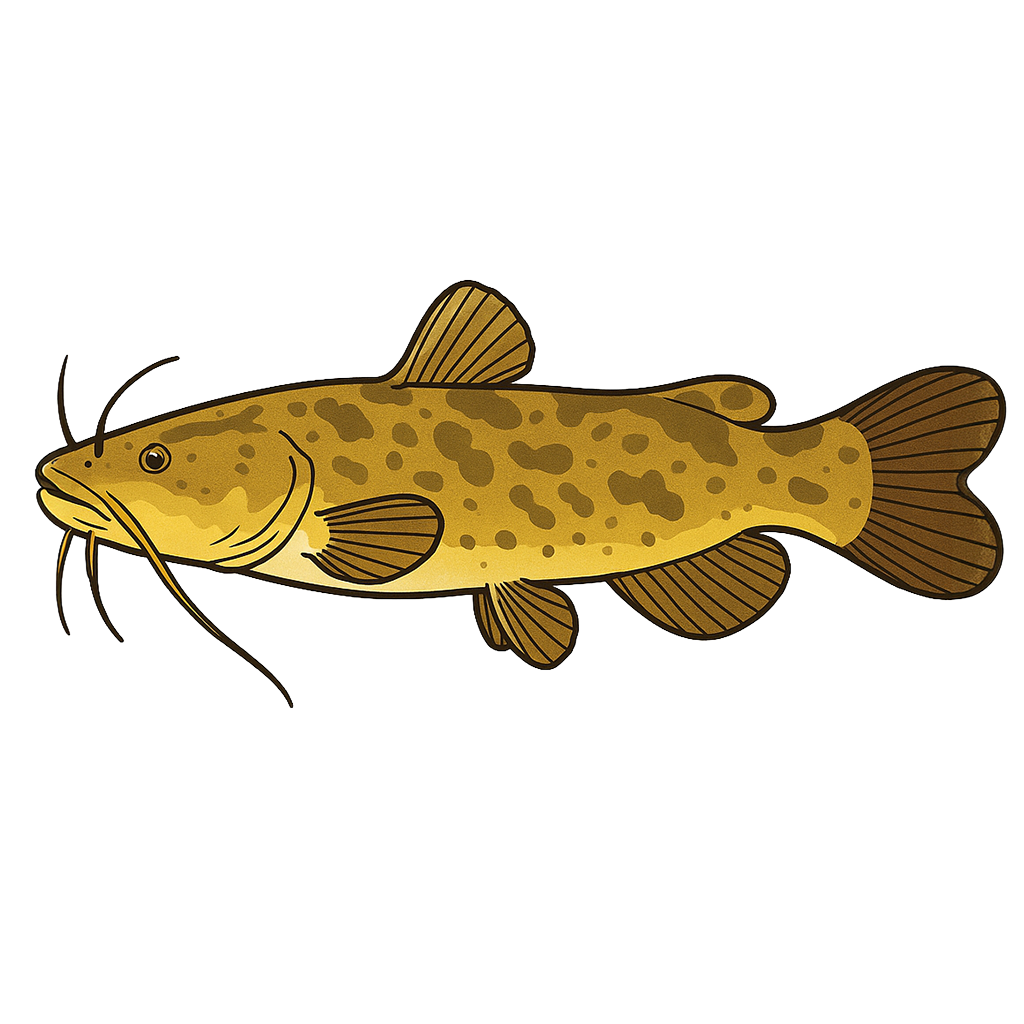
Flathead Catfish
Species data sourced from Texas Parks & Wildlife Department
Hords Creek Lake Fishing Guide
Angling Opportunities
The reservoir is known for its largemouth bass fishing, but populations of flathead catfish and sunfish should not be overlooked. Florida largemouth bass were introduced in 1986.
Cover & Structure
A variety of cover and structure is scattered throughout the reservoir including some aquatic vegetation, dead submerged brush, black willow trees, rocky ledges and points, a rip-rap dam, and several well-defined creek channels. When the reservoir is low, fishing cover is primarily restricted to rocky structure and some brush. Man-made structures have been used to create artificial fish habitat in this reservoir.
Tips & Tactics
Largemouth bass fishing is often very good, especially in the spring. Jigs and crankbaits are good in the early spring and late winter. As water warms, suspending jerkbaits and floating worms, buzzbaits, and spinnerbaits become productive. Trotlines baited along creek channels and steep, rocky banks are effective for flathead catfish. For kids seeking sunfish, small pieces of night crawlers and mealworms fished with number 6 cricket hooks under a cork or on the bottom can be a lot of fun.
Fishing Regulations
All species at Hords Creek Lake are managed under standard Texas statewide regulations.
Some links are affiliate links. We may earn a small commission at no cost to you.
Water Level History
| Date | Elevation | 24hr Change | % Full | Inflow | Outflow |
|---|---|---|---|---|---|
| Jul 15 | 1890.12 ft | -0.02 | 51.7% | 1 | 0 |
| Jul 14 | 1890.14 ft | +0.03 | 51.7% | 7 | 0 |
| Jul 13 | 1890.13 ft | -0.02 | 51.7% | 1 | 0 |
Data source: US Army Corps of Engineers
More Lakes in Panhandle Plains
Map & Directions
Lake Information
Region: Panhandle Plains
USGS Site: 08141000
Data Sources
Fishing Reports
Texas Parks & Wildlife Department
Lake Details
TPWD Inland Fisheries
Water Levels
USGS Water Services
Weather
Open-Meteo
Maps
Mapbox