
TPWD weekly fishing reports are temporarily paused. All other data is updating daily.
Fish Species at E.V. Spence Reservoir

Largemouth Bass
Fair

White Crappie
Poor
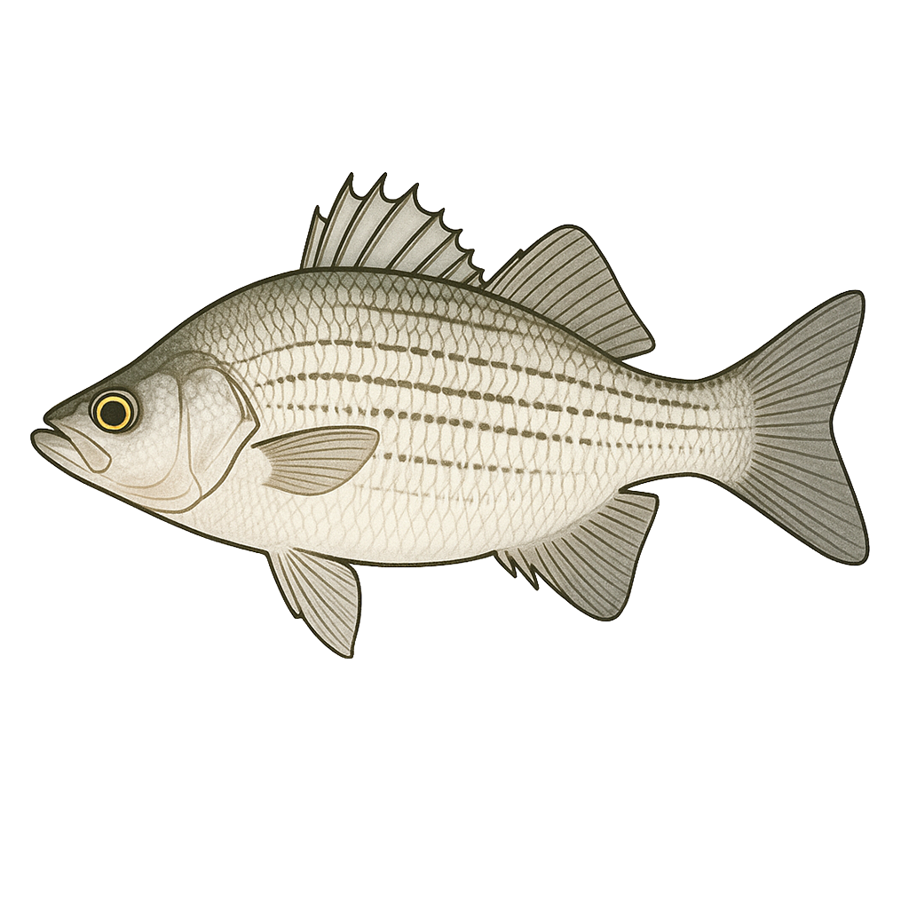
White Bass
Poor
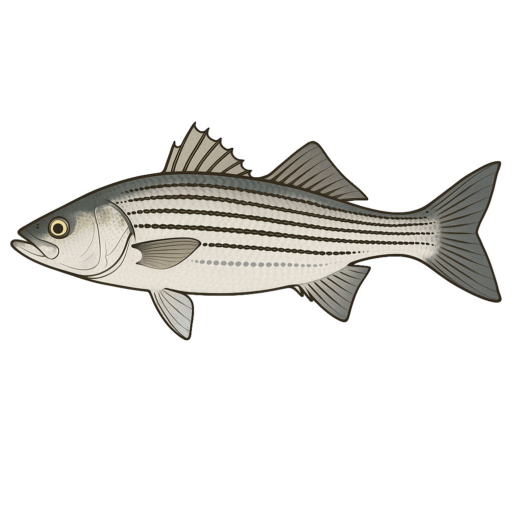
Striped Bass
Poor

Sunfish
Poor
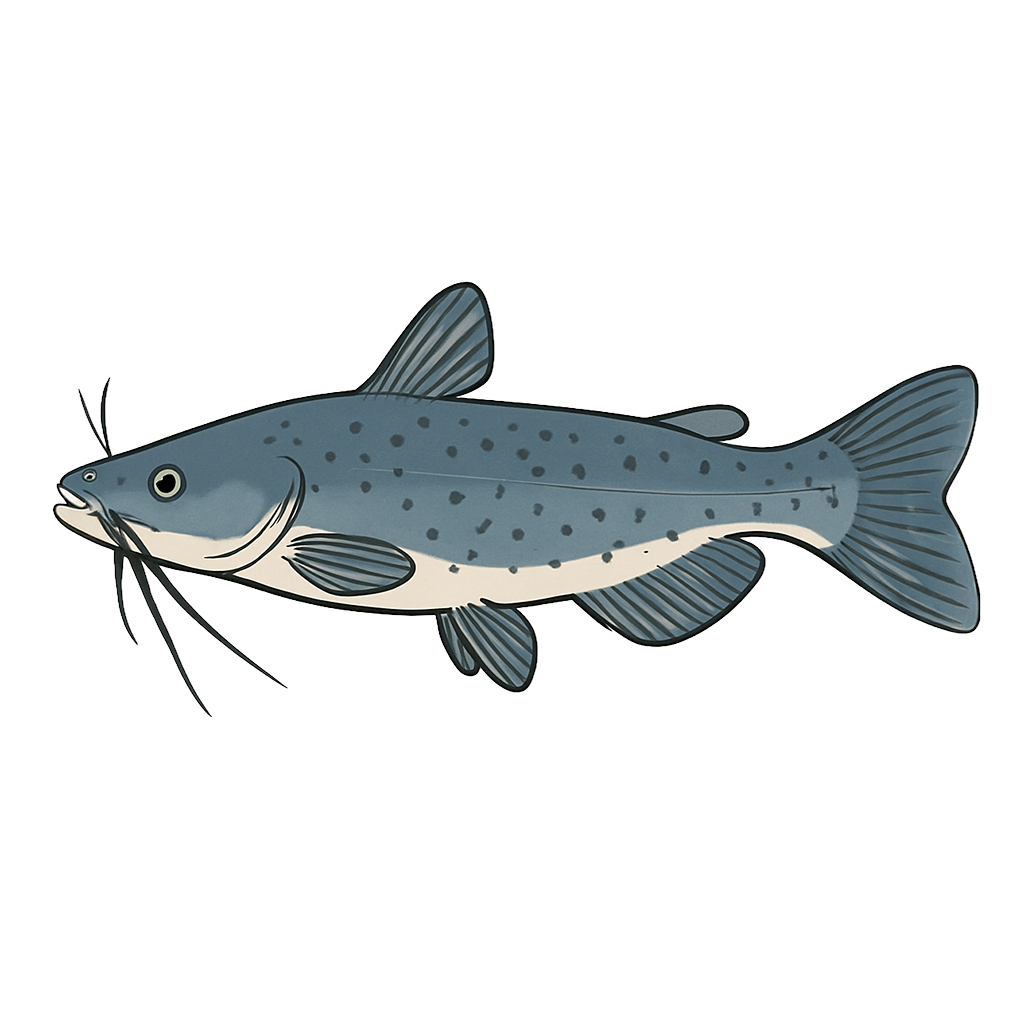
Channel Catfish
Species data sourced from Texas Parks & Wildlife Department
E.V. Spence Reservoir Fishing Guide
Angling Opportunities
After severe golden-alga fish kills in the early 2000s, this fishery is making a comeback with anglers able to harvest legal size channel catfish. Largemouth bass are abundant and most should reach legal size this year.
Cover & Structure
E. V. Spence Reservoir spans approximately 14,640 acres with depths reaching 108 feet near the dam.
Tips & Tactics
Stripers are caught year-round on live bait, cut-bait, and artificial lures. Many fishermen are successful fishing slabs vertically over submerged humps and drop-offs, or trolling with downriggers. Another successful fishing method for stripers is to remove the front treble hook from a crankbait and tie a grub or spoon on a 3- to 6-foot leader to the eyelet on the crankbait where the hook was, and then troll with the crankbait/grub rig. Using different crankbaits that dive to different depths allows you to fish the grub at the depth where the fish are holding. White bass are caught on in-line spinners or plastic running baits when they are schooling near the surface, or jigging spoons fished vertically over submerged humps when they're deep.--> Largemouth bass are caught by fishing minnows, crank-baits, spinner baits, plastic worms, and top-water baits around the areas with rocks, flooded terrestrial vegetation, or drop-offs.
Fishing Regulations
All species at E.V. Spence Reservoir are managed under standard Texas statewide regulations.
Some links are affiliate links. We may earn a small commission at no cost to you.
Water Level History
| Date | Elevation | 24hr Change | % Full | Inflow | Outflow |
|---|---|---|---|---|---|
| Jul 15 | 1843.80 ft | -- | 10.4% | -- | -- |
| Jul 14 | 1843.84 ft | -- | 10.4% | -- | -- |
| Jul 13 | 1843.87 ft | -- | 10.5% | -- | -- |
Data source: US Army Corps of Engineers
More Lakes in Panhandle Plains
Map & Directions
Lake Information
Region: Panhandle Plains
USGS Site: 08123950
Data Sources
Fishing Reports
Texas Parks & Wildlife Department
Lake Details
TPWD Inland Fisheries
Water Levels
USGS Water Services
Weather
Open-Meteo
Maps
Mapbox