
TPWD weekly fishing reports are temporarily paused. All other data is updating daily.
Fish Species at Arrowhead Lake

Largemouth Bass
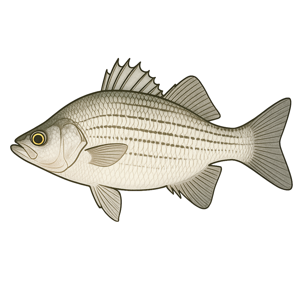
White Bass
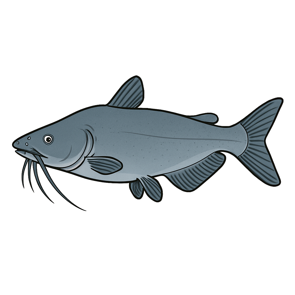
Channel Catfish
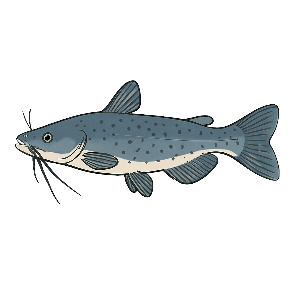
Blue Catfish

White Crappie
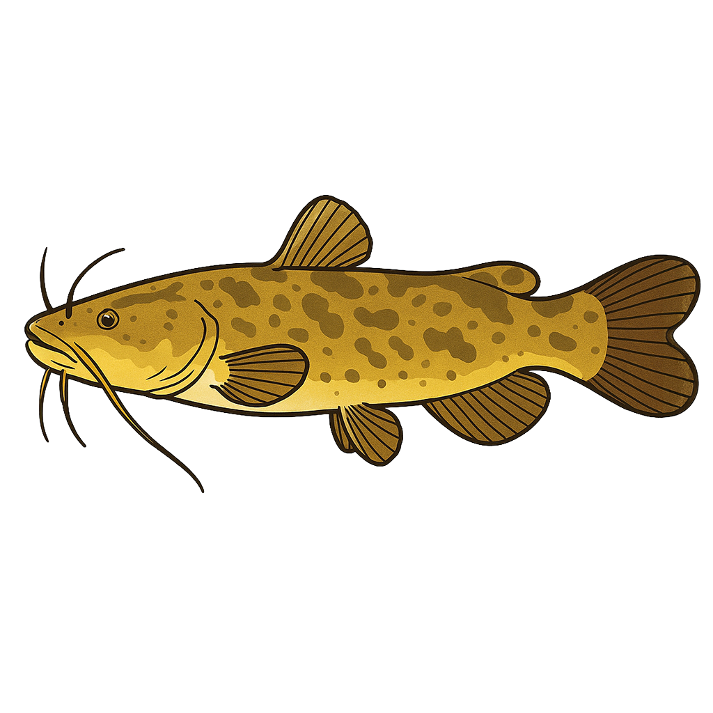
Flathead Catfish
Species data sourced from Texas Parks & Wildlife Department
Arrowhead Lake Fishing Guide
Angling Opportunities
Lake Arrowhead is recognized as a premier white crappie lake. Be prepared to share the water with many other anglers in spring, when limits of nice-size crappie are caught in the lower half of the reservoir. Arrowhead also contains channel, blue, and flathead catfish, with blue cats being most harvested. All three species can get big here: the lake record for channel catfish is 12.9 pounds, and for blues, 74.7 pounds.
Cover & Structure
Fish habitat includes riprapped areas along the dam and bridges and rocky shoals near the main lake points. Good amounts of standing timber remain in the upper end of the reservoir and in the back of most coves. Aquatic vegetation varies with water levels.
Tips & Tactics
Spring is the time to fish for white crappie. While crappie can be caught year round, the majority are caught during the spawning period. They'll be located in shallow water near shoreline habitat. The dam, state park area, and bridges produce stringers full of fish. Skirted crappie jigs with in-line spinners or minnows are the baits of choice.
Fishing Regulations
All species at Arrowhead Lake are managed under standard Texas statewide regulations.
Some links are affiliate links. We may earn a small commission at no cost to you.
Water Level History
| Date | Elevation | 24hr Change | % Full | Inflow | Outflow |
|---|---|---|---|---|---|
| Jul 14 | 922.67 ft | -- | 80.3% | -- | -- |
| Jul 13 | 922.68 ft | -- | 80.3% | -- | -- |
| Jul 12 | 922.70 ft | -- | 80.4% | -- | -- |
Data source: US Army Corps of Engineers
More Lakes in Panhandle Plains
Map & Directions
Lake Information
Region: Panhandle Plains
USGS Site: 07314800
Data Sources
Fishing Reports
Texas Parks & Wildlife Department
Lake Details
TPWD Inland Fisheries
Water Levels
USGS Water Services
Weather
Open-Meteo
Maps
Mapbox