
TPWD weekly fishing reports are temporarily paused. All other data is updating daily.
Fish Species at Lake Abilene

Largemouth Bass
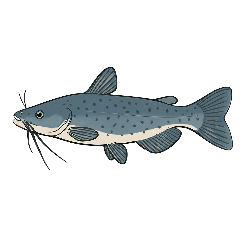
Channel Catfish
Species data sourced from Texas Parks & Wildlife Department
Lake Abilene Fishing Guide
Angling Opportunities
Lake Abilene offers solid fishing for Largemouth Bass, Channel Catfish.
Cover & Structure
Lake Abilene offers a mix of natural and man-made structure. Creek channels, brush piles, and rocky areas all hold fish depending on the season.
Tips & Tactics
For largemouth bass, work Texas-rigged soft plastics along any available cover in the morning, and switch to deeper crankbaits as the sun gets high. Channel cats are reliable on punch bait or cut shad drifted along flats and channel bends.
Fishing Regulations
All species at Lake Abilene are managed under standard Texas statewide regulations.
Some links are affiliate links. We may earn a small commission at no cost to you.
Water Level History
| Date | Elevation | 24hr Change | % Full | Inflow | Outflow |
|---|---|---|---|---|---|
| Jul 14 | 1991.50 ft | -- | 7.7% | -- | -- |
| Jul 13 | 1991.46 ft | -- | 7.6% | -- | -- |
| Jul 12 | 1991.46 ft | -- | 7.6% | -- | -- |
Data source: US Army Corps of Engineers
More Lakes in Panhandle Plains
Map & Directions
Lake Information
Region: Panhandle Plains
USGS Site: 08083460
Data Sources
Fishing Reports
Texas Parks & Wildlife Department
Lake Details
TPWD Inland Fisheries
Water Levels
USGS Water Services
Weather
Open-Meteo
Maps
Mapbox