Menu

180+ Texas Lakes • 7 Regions

Murvaul Lake

Pineywoods Region · 32.0346°N, 94.4210°W

Weather and solunar ratings are forecasts, not catch reports. Check the dates below for the latest available observations and forecasts.

Get the weekly outlook for Murvaul Lake

Water levels, weather and fishing windows in a free weekly email. Unsubscribe anytime.

Fishing Forecast
Fair— Moderate activity expected
92°F/77°F·12 mph S·Overcast

Weather-based estimate, not a catch report. Forecast updated Oct 14, 2026, 3:32 AM CDT. All forecast dates and fishing times use Central Time (America/Chicago).

No closure reports available

Ramp locations checked Oct 10, 2026, 7:00 PM CDT. Confirm access with the facility; missing closure reports do not confirm a ramp is open.

Best Times to Fish

Solunar estimates for Wednesday, Oct 14, 2026 · Central Time

Solunar Rating
12a3a6a9a12p3p6p9p
Major
Minor
Sun
03:19 PM – 05:19 PM
Moon Overhead
Major
03:07 AM – 05:07 AM
Moon Underfoot
Major
10:51 AM – 11:51 AM
Moonrise
Minor
08:01 PM – 09:01 PM
Moonset
Minor
Pressure
1016
hPa · Stable
Wind
12
mph S
Clouds
20%
Limited cloud cover
Humidity
68%
UV 5
7:20 AM
Sunrise
6:46 PM
Sunset
11:21 AM
Moonrise
08:31 PM
Moonset
Waxing Crescent
8% lit

Latest Observed Water Level

Record date: . This is a reported observation, not a forecast for a future trip. The record date may be a collection date; individual readings can have different observation times.

TWDB
88.3%
Elevation: 264.0 ft

Murvaul Lake Fishing Forecast by Date

Weather and solunar estimates for the available dates below. Temperatures in °F, wind in mph; all times are Central Time. Forecasts can change.

Overcast. High 92°F, low 77°F. Wind 12 mph S. Rain 0 in.

Forecast updated Oct 14, 2026, 3:32 AM CDT.

Fishing times and weather details
Pressure
1016 hPa · stable
Sunrise / sunset
7:20 AM / 6:46 PM Central
Major solunar periods
03:19 PM – 05:19 PM; 03:07 AM – 05:07 AM
Minor solunar periods
10:51 AM – 11:51 AM; 08:01 PM – 09:01 PM
Moon
Waxing Crescent · 8% illuminated
Clouds / humidity
20% / 68%

Clear. High 92°F, low 67°F. Wind 8 mph S. Rain 0 in.

Forecast updated Oct 14, 2026, 3:32 AM CDT.

Fishing times and weather details
Pressure
1016 hPa · rising
Sunrise / sunset
7:21 AM / 6:45 PM Central
Major solunar periods
04:10 PM – 06:10 PM; 03:58 AM – 05:58 AM
Minor solunar periods
11:46 AM – 12:46 PM; 08:45 PM – 09:45 PM
Moon
Waxing Crescent · 14% illuminated
Clouds / humidity
3% / 60%

Overcast. High 80°F, low 61°F. Wind 13 mph N. Rain 0 in.

Forecast updated Oct 14, 2026, 3:32 AM CDT.

Fishing times and weather details
Pressure
1021 hPa · rising
Sunrise / sunset
7:21 AM / 6:43 PM Central
Major solunar periods
05:02 PM – 07:02 PM; 04:50 AM – 06:50 AM
Minor solunar periods
12:35 PM – 01:35 PM; 09:34 PM – 10:34 PM
Moon
Waxing Crescent · 22% illuminated
Clouds / humidity
49% / 55%

Overcast. High 70°F, low 49°F. Wind 11 mph NE. Rain 0 in.

Forecast updated Oct 14, 2026, 3:32 AM CDT.

Fishing times and weather details
Pressure
1028 hPa · falling
Sunrise / sunset
7:22 AM / 6:42 PM Central
Major solunar periods
05:53 PM – 07:53 PM; 05:41 AM – 07:41 AM
Minor solunar periods
01:20 PM – 02:20 PM; 10:28 PM – 11:28 PM
Moon
Waxing Crescent · 32% illuminated
Clouds / humidity
28% / 42%

Overcast. High 77°F, low 46°F. Wind 5 mph E. Rain 0 in.

Forecast updated Oct 14, 2026, 3:32 AM CDT.

Fishing times and weather details
Pressure
1024 hPa · stable
Sunrise / sunset
7:23 AM / 6:41 PM Central
Major solunar periods
06:41 PM – 08:41 PM; 06:29 AM – 08:29 AM
Minor solunar periods
01:59 PM – 02:59 PM; 11:25 PM – 12:25 AM
Moon
Waxing Crescent · 42% illuminated
Clouds / humidity
19% / 44%

Fish Species at Murvaul Lake

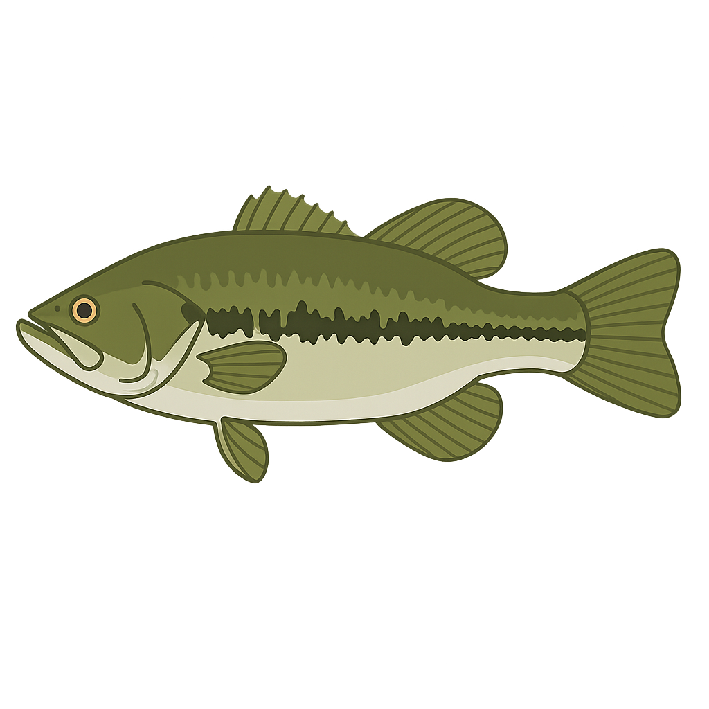
Largemouth Bass

Largemouth Bass

Good
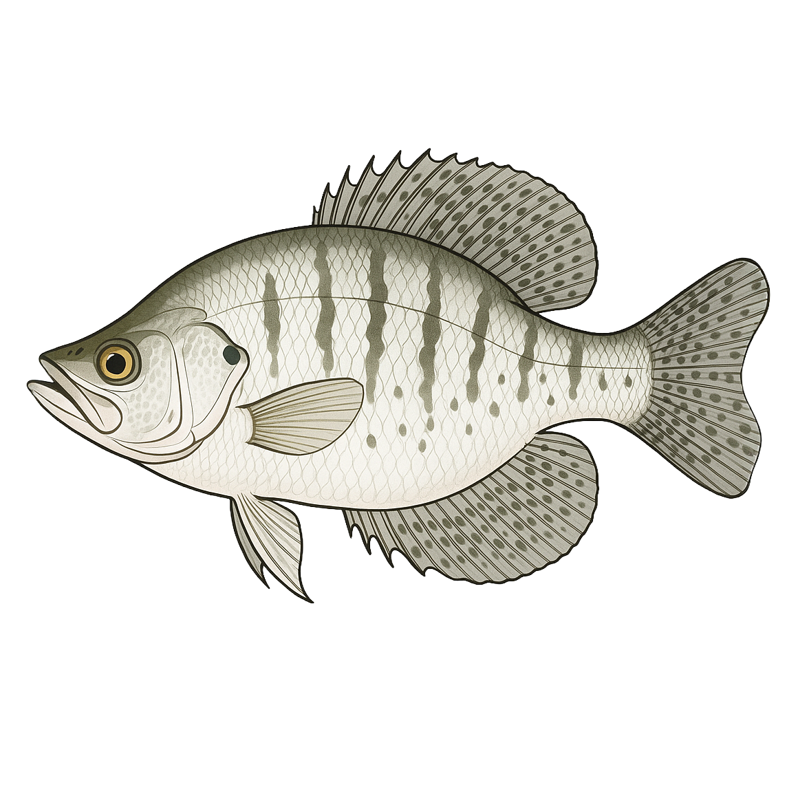
White Crappie

White Crappie

Good
Sunfish

Sunfish

Good
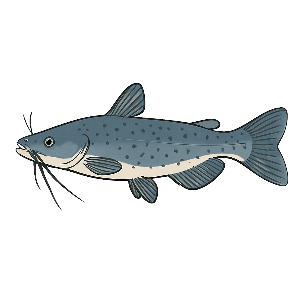
Channel Catfish

Channel Catfish

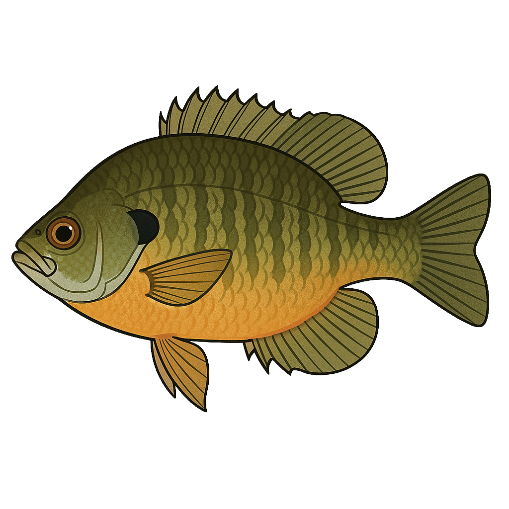
Bluegill

Bluegill

Species data sourced from Texas Parks & Wildlife Department

Get the weekly outlook for Murvaul Lake

Water levels, weather and fishing windows in a free weekly email. Unsubscribe anytime.

Murvaul Lake Fishing Guide

Angling Opportunities

Lake Murvaul has an excellent and highly utilized largemouth bass fishery. The reservoir received national recognition in the 1960s for its trophy bass production and continues to produce bass over 8 lbs. Management strategies have been developed to take advantage of Murvaul's ability to grow large bass. During the late 1990s, a supplemental stocking program was conducted to increase the Florida bass genotype in the population and harvest regulations were modified to protect intermediate-size bass and increase fishing quality.

Cover & Structure

Natural habitat is present is present in the form of flooded timber, aquatic vegetation, and numerous creek channels. An abundance of man-made structures (rip rap, boat houses and docks) provide additional structural habitat. Man-made PVC cubes have been used to create artificial fish habitat in this reservoir.

Tips & Tactics

Although largemouth bass fishing is good throughout the year, the most productive months are January through March. Jig combinations, oversized crankbaits and spinner baits are the most popular lures. Fish are located in deep water along creek channels during winter months and tend to move into shallow water flats during the spring. Aquatic and terrestrial vegetation may also be productive habitat to fish during the spring through fall months. During warmer months, top-water lures can produce strikes in the early morning hours.

Fishing Regulations

Murvaul Lake has special regulations on some fishes. Check current TPWD regulations before your trip.

Some links are affiliate links. We may earn a small commission at no cost to you.

Water Level History

DateElevation24hr Change% FullInflowOutflow
Oct 14Source: TWDB263.97 ft--88.3%----
Oct 13Source: TWDB263.98 ft--88.4%----
Oct 12Source: TWDB264.00 ft--88.6%----
Data sources for displayed records: TWDB

More Lakes in Pineywoods

Map & Directions

Lake Information

Region: Pineywoods

Coordinates:

32.034611, -94.421036

Click coordinates to view on Google Maps

USGS Site: 08022200

Data sources and access · Lake conditions as JSON

Data Sources

Fishing Reports
Texas Parks & Wildlife Department
Lake Details
TPWD Inland Fisheries
Water Levels
TWDB, USACE & USGS where available
Weather
Open-Meteo
Maps
Mapbox