
TPWD weekly fishing reports are temporarily paused. All other data is updating daily.
Fish Species at Kurth Lake

Largemouth Bass
Excellent
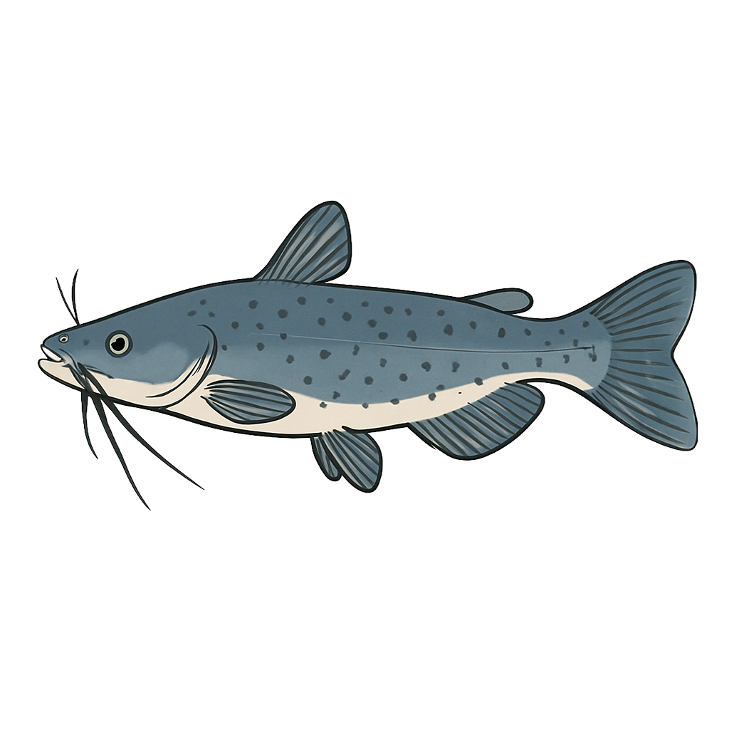
Channel Catfish
Fair

White Crappie
Fair

Sunfish
Good
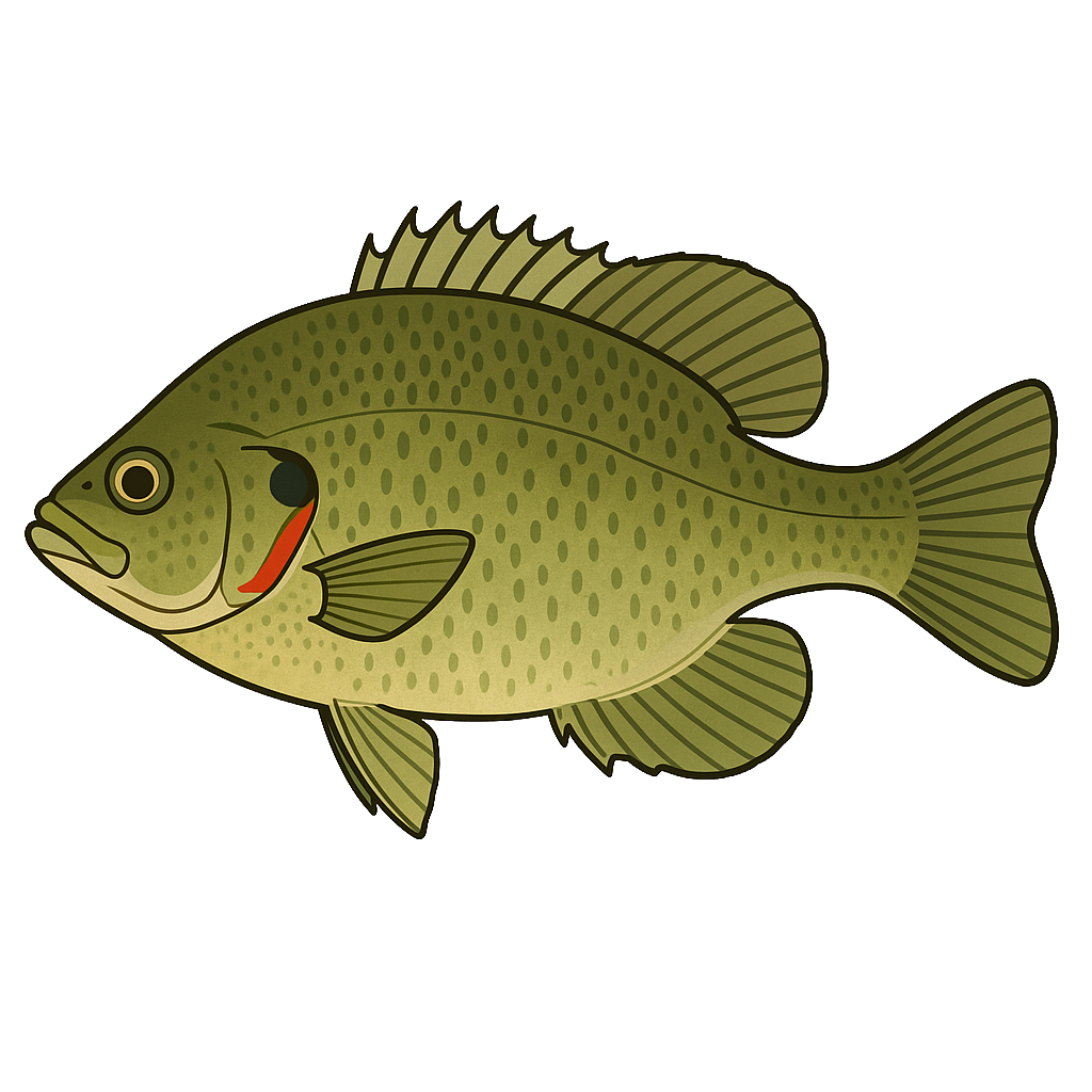
Redear Sunfish
Bluegill
Species data sourced from Texas Parks & Wildlife Department
Kurth Lake Fishing Guide
Angling Opportunities
The largemouth bass population is abundant at Kurth Reservoir, with a relatively high number of fish over 4 pounds. Crappie and catfish are present, but numbers are relatively low and few anglers target these species. Bluegill and redear sunfish are present in high numbers and provide fast action, especially for youth or inexperienced anglers.
Cover & Structure
Habitat in Kurth Reservoir consists of submerged aquatic vegetation (mainly hydrilla), standing timber, and lily pads. Game fish are typically found around vegetation edges, points, and creek channels.
Tips & Tactics
Kurth Reservoir has a relatively high amount of hydrilla, and fishermen are successful at catching largemouth bass year round. During cooler months, fish are active for longer periods of the day; crankbaits and spinnerbaits worked over the vegetation will catch bass. During the hot summer, fish activity is usually concentrated during early morning and late evening. Topwater baits are good choices during low light conditions. As the sun rises, bass concentrate in or around vegetation edges.
Fishing Regulations
Kurth Lake has special regulations on largemouth bass. Check current TPWD regulations before your trip.
Some links are affiliate links. We may earn a small commission at no cost to you.
More Lakes in Pineywoods
Map & Directions
Lake Information
Region: Pineywoods
Data Sources
Fishing Reports
Texas Parks & Wildlife Department
Lake Details
TPWD Inland Fisheries
Water Levels
USGS Water Services
Weather
Open-Meteo
Maps
Mapbox