
TPWD weekly fishing reports are temporarily paused. All other data is updating daily.
Fish Species at Holbrook Lake

Largemouth Bass
Excellent

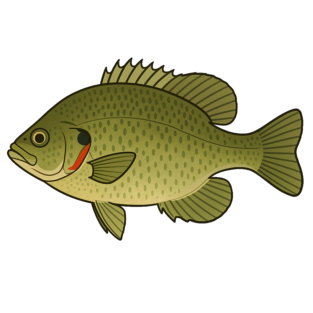
Sunfish
Good
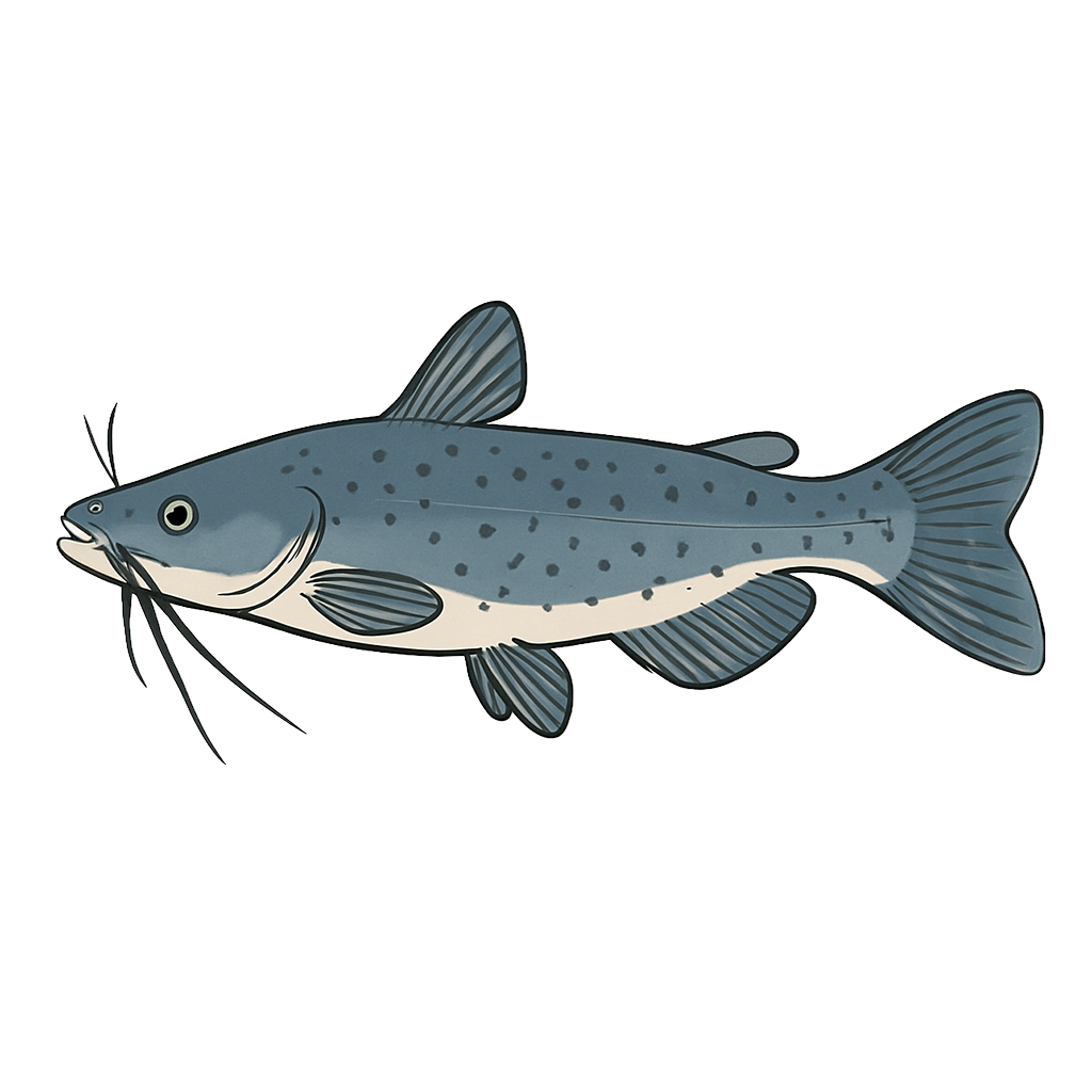
Channel Catfish

White Crappie

Yellow Bass
Redear Sunfish
Bluegill
Species data sourced from Texas Parks & Wildlife Department
Holbrook Lake Fishing Guide
Angling Opportunities
Largemouth bass is the most popular fish in the reservoir. Stockings of Florida largemouth bass in 2007 and 2008 have been conducted in order to influence the genetics of the population. Bluegill and redear sunfish provide a limited fishery with some individuals up to 10 inches. Both black and white crappie are prevalent in the open water of the reservoir.
Cover & Structure
Flooded timber, boat houses and brush piles provide limited cover. TPWD staff have been working to establish stands of native aquatic species since 2006. The department has also worked with local organizations to create fish habitat structures in this lake.
Tips & Tactics
Largemouth bass fishermen are most successful on this reservoir during the spring, fall, and winter months. Topwater baits are popular in the early morning and evening hours. Schooling largemouth and yellow bass can be caught in the summertime. Crankbaits and spinnerbaits are also productive fished along main-lake points and flooded timber. Popular soft plastic baits include worms, tubes, grubs, and soft-jerkbaits.
Fishing Regulations
All species at Holbrook Lake are managed under standard Texas statewide regulations.
Some links are affiliate links. We may earn a small commission at no cost to you.
More Lakes in Pineywoods
Map & Directions
Lake Information
Region: Pineywoods
Data Sources
Fishing Reports
Texas Parks & Wildlife Department
Lake Details
TPWD Inland Fisheries
Water Levels
USGS Water Services
Weather
Open-Meteo
Maps
Mapbox