
TPWD weekly fishing reports are temporarily paused. All other data is updating daily.
Fish Species at Braunig Lake

Largemouth Bass
Fair
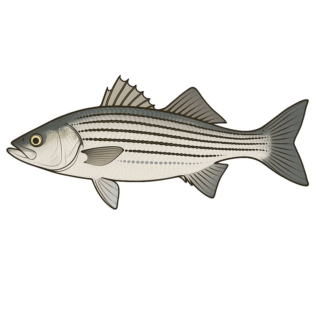
Hybrid Striped Bass
Excellent
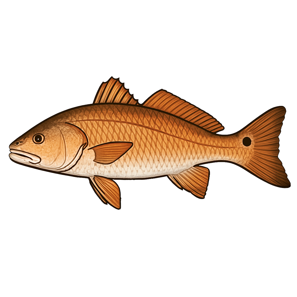
Red Drum
Excellent
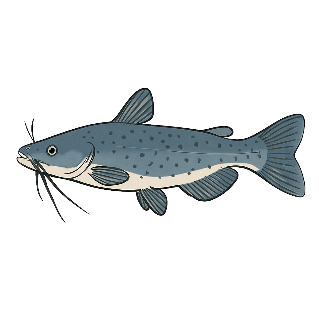
Channel Catfish
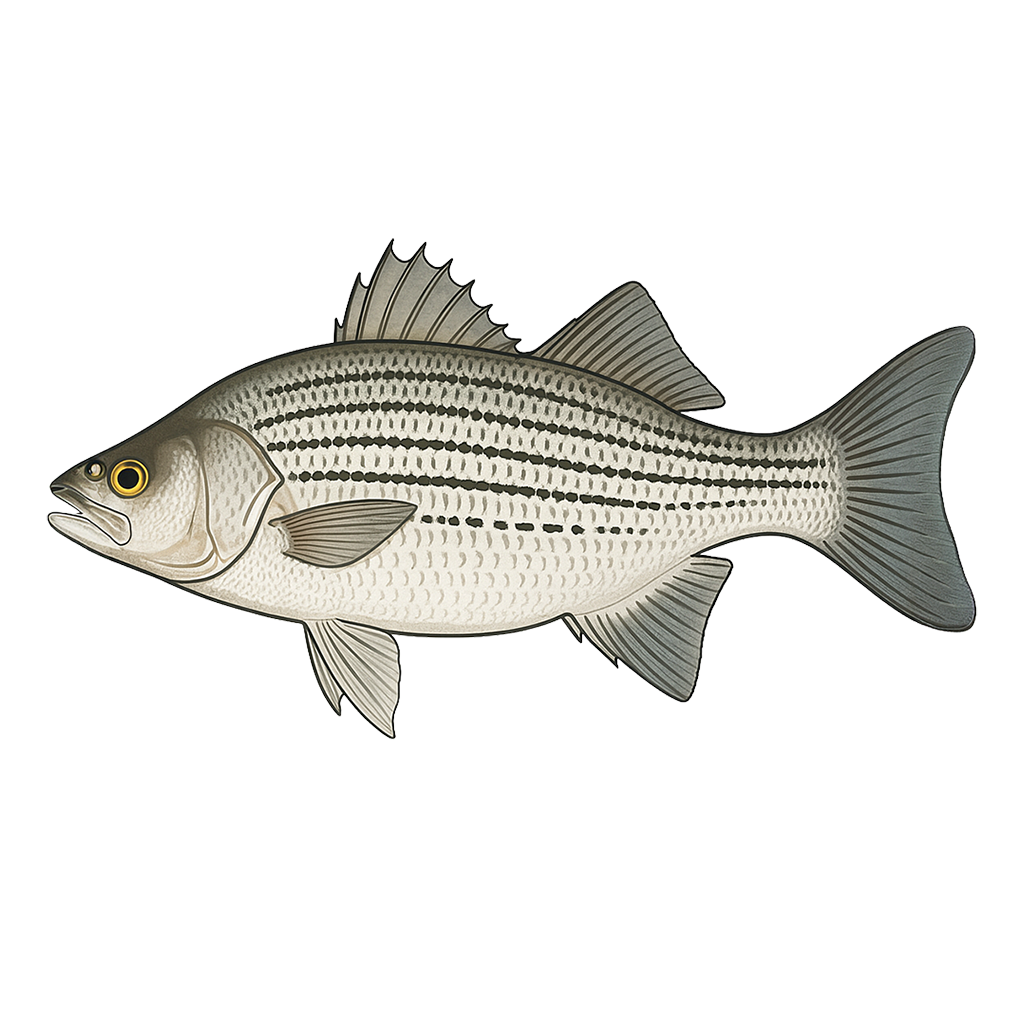
Striped Bass
Species data sourced from Texas Parks & Wildlife Department
Braunig Lake Fishing Guide
Angling Opportunities
Red drum are the most popular sport fish in the reservoir. Hybrid striped bass and catfish are the next most sought after species. Although quality to trophy size largemouth bass are present, a limited fishery currently exists.
Cover & Structure
The main cover is provided by bulrush and cattails along the shoreline and the main structure found at Braunig consists of rock rip-rap along the dam and peninsulas. Primarily bulrush and cattails along shoreline.
Tips & Tactics
Red drum fishing is good March through August with many fish in excess of 20 pounds harvested annually. As on the coast, this schooling species may sometimes be located by watching for feeding activities by seagulls or pelicans. In winter, red drum may be found near the heated discharges. Crawfish and tilapia are very good natural baits; good artificial lures include spoons (gold and silver), rattle traps and trolled deep-diving crankbaits.. Hybrid striped bass fishing is good from January through August, and peaks in spring.
Fishing Regulations
Braunig Lake has a special regulation on red drum. See bag and size limits. Check current TPWD regulations before your trip.
Some links are affiliate links. We may earn a small commission at no cost to you.
More Lakes in South Texas Plains
Map & Directions
Lake Information
Region: South Texas Plains
Data Sources
Fishing Reports
Texas Parks & Wildlife Department
Lake Details
TPWD Inland Fisheries
Water Levels
USGS Water Services
Weather
Open-Meteo
Maps
Mapbox